I’ve wanted to visit Taiwan ever since one of my good friends told me that it was her favorite place in Asia.
And I like new and exciting places to hike.
So, after some research, I planned to hike the Sixiu (4 mountains) of Wuling farm fame.
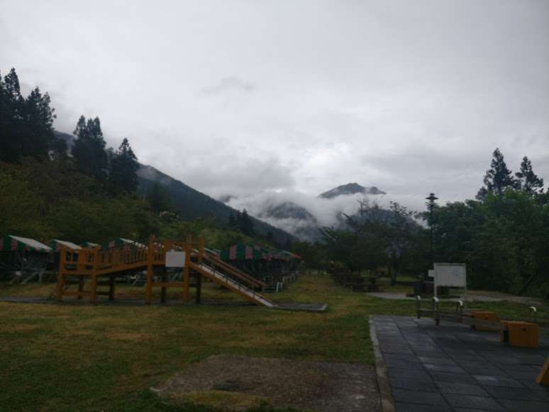
Wuling farm is a jump off point with lots of options for staying the first night.
I have a good friend from Tiawan and although she is not a hiker, I found out her brother is.
When I contacted him about a possible hiking trip in late July, her replied that he and his 4 friends were indeed going to hike the very same area. Luckily for me, he invited me to join them.
So I booked my flights for a 10 day trip and got my pack in order. Arriving in Taipei on July 30th, I was a bit shocked at how hot it was. 38 deg C. That’s hot! And I had already marked on my Google map about a hiking trail just outside of the city limits, to the north, in Yangmingshen National Park and it’s high peak. Mt Qixing at 1120 meters.
I thought: well that should be a little cooler up there so, on my first day, I trekked up there.
The first thing I noticed was how many people were also on the hike, even though it was a weekday. And then, how friendly they all were. Most everyone spoke some English, which was great as I only knew 3 or 4 words in Chinese. But of course had my Google translate ready.
Hiked up most of the way with some guys who were the same age as me, and found out they do this weekly and are in great shape. Because it was hard! I was beginning to get a little worried about the main trek I came here for, which was 3 times higher than this lung buster. 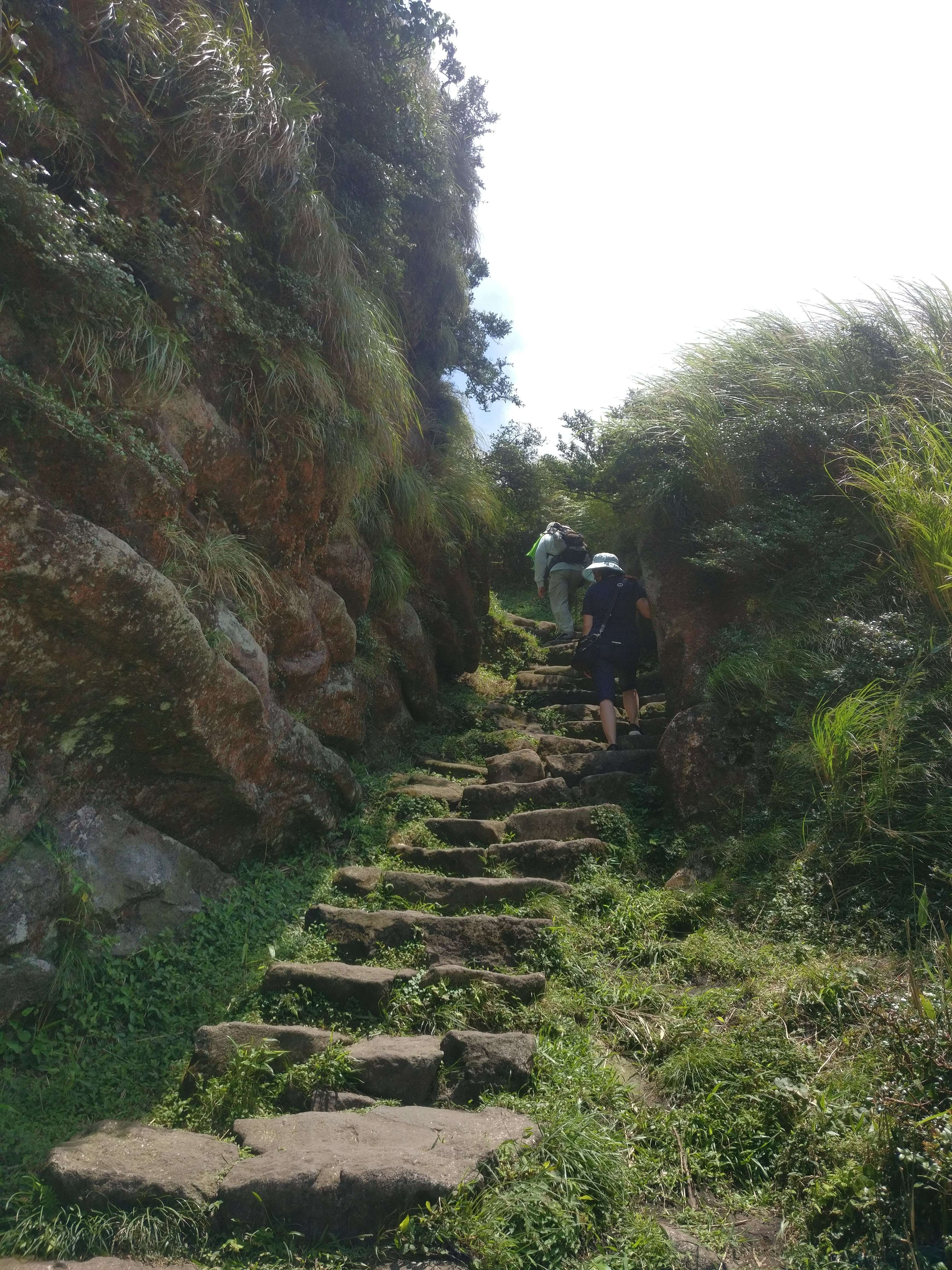
Near the top, the flora changed from the coniferous trees we’d been hiking through, to a grasslike, head high, bamboo that made it an “above tree line” feel. Reading the signs I learned that this plant, which is related to the bamboo species, is normally at a much higher elevation, but because of the frequent typhoons that Taipei experiences, it grows here. 
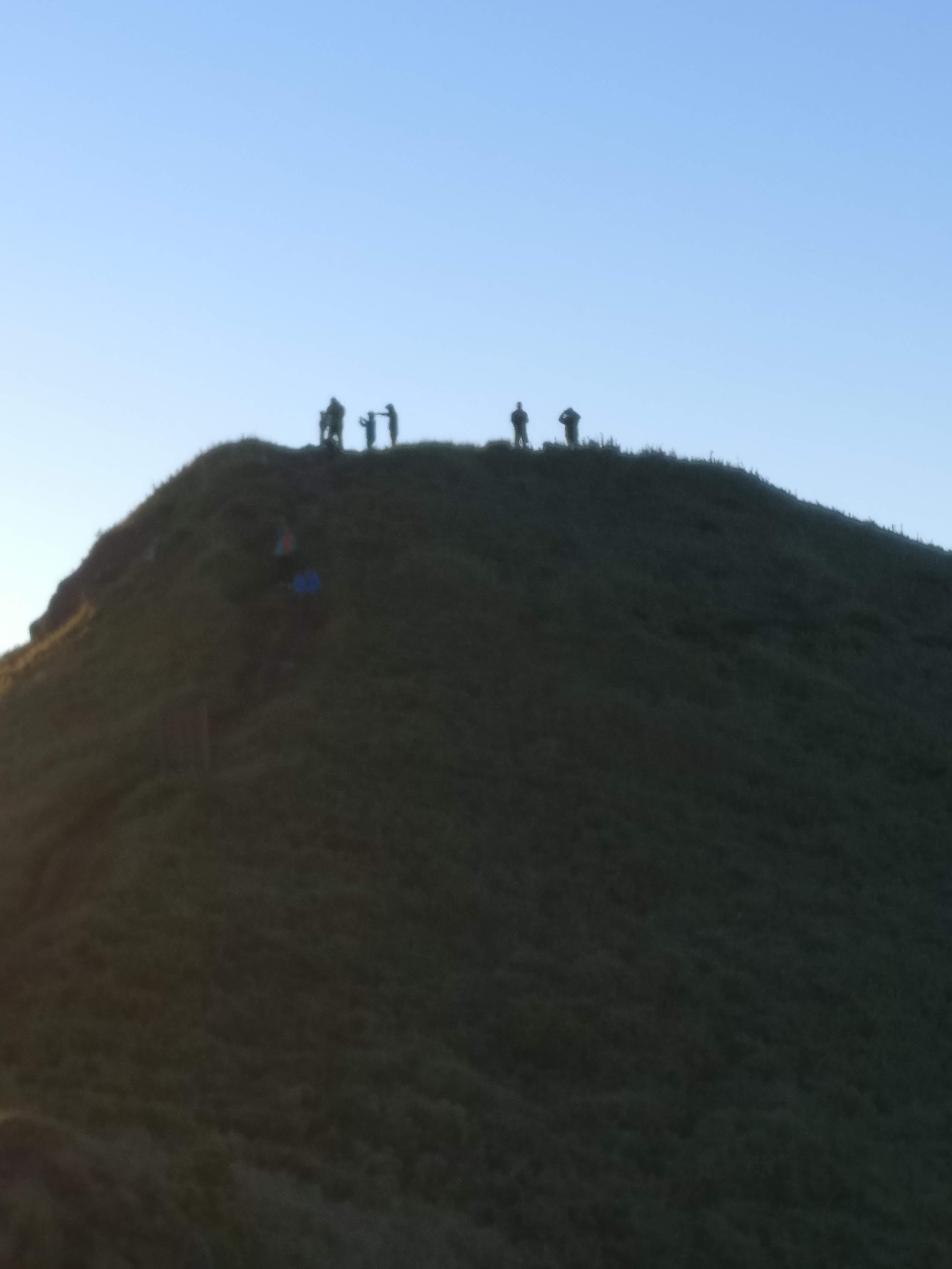
 At the top of Mt. Qixing, things were definitely a lot cooler with a nice breeze blowing. Good place to be, and there were quite a few others up here at the same time.
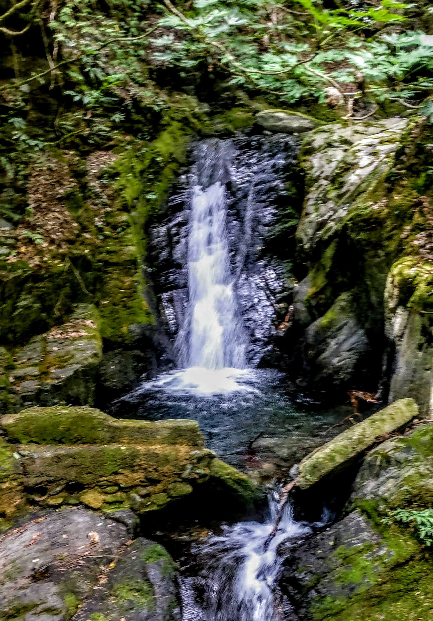
After eating my lunch, I decided to go down the back way (north) to see the thermal activity that was mentioned at the visitors center. The sulfur smell gave it away and sure enough, I was reminded of Yellowstone National Park in Wyoming and there was smoke coming out of the ground in many places.

Took the shuttle bus back to where I started and got the city bus back to Main Station in central Taipei. On the way, I saw a backpacking store were I bought fuel for the big hike, that would start in 2 days.
After all the training and hiking I do, I was surprised to be a little sore the next day, so, glad I gave myself a cushion day.
The big day finally arrived and I met up with Dennis, Frankie and Sophia at the agreed MRT station exit. They all spoke some English but Sophie had studied at Pitt University in Pennsylvania (my home state) so, she understood everything I asked about and explained things so well.
On the map, Shei Pa National Park (Wuling farm) is only 50 kms from Taipei Main Station. It took us 5 hours to drive there! Between the heavy traffic, (it was a Friday) and the very windy roads, it was a much longer than expected drive. And we stopped to eat and shop for last minute food supplies for the hike (2 or 3 times LOL) It was a bit of a standing joke that this would be the last stop.
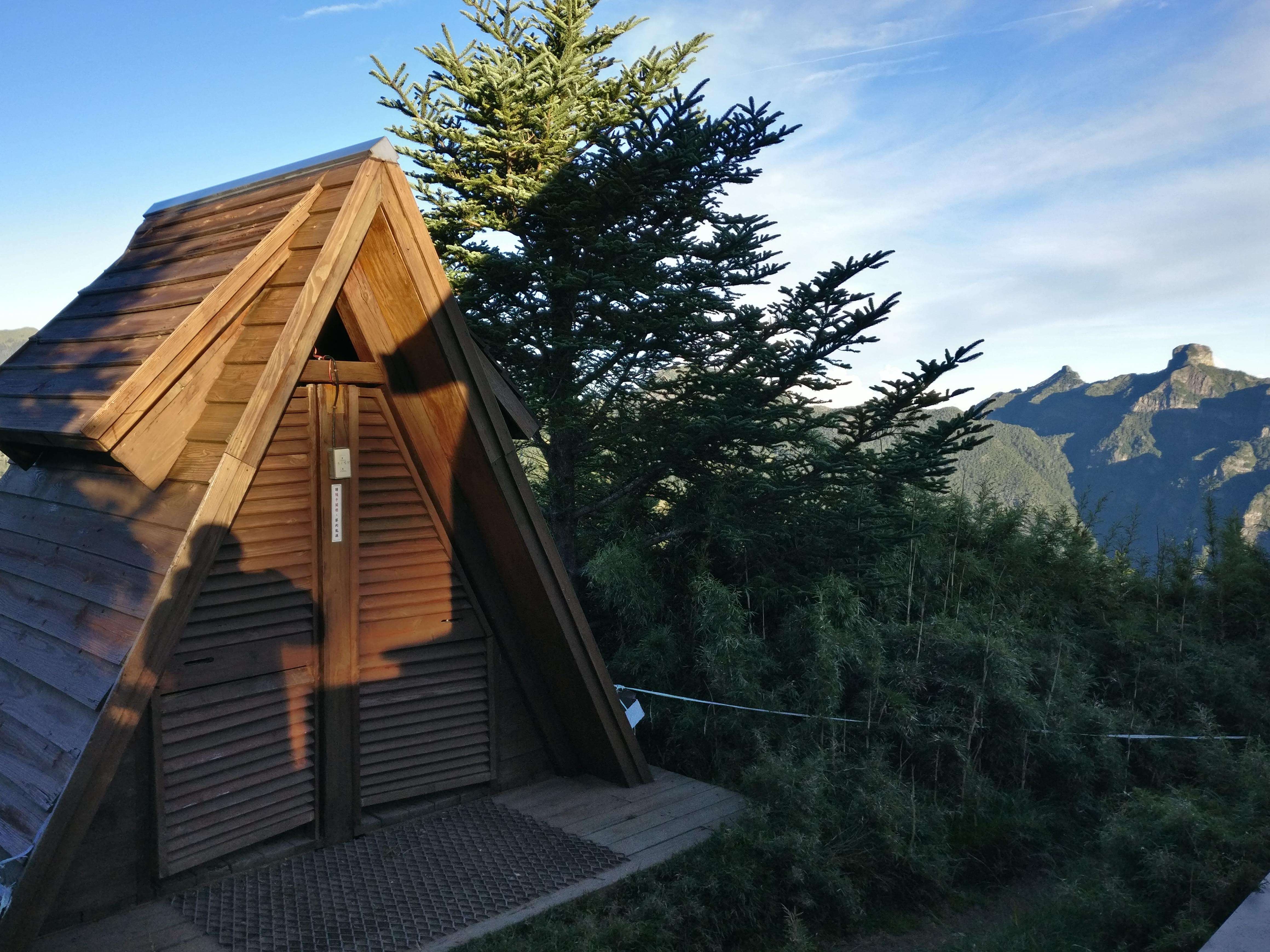
For our first night, we checked in at the campground and booked the provided tent setup. Picnic table and water source (and all night streetlight) were conveniently located right in front of our 3 tents.
In the morning, we met 2 more of our party who arrived late at night.
After a big breakfast and one more trip to the store (again: “Last stop for supplies”), we were finally ready to hike.
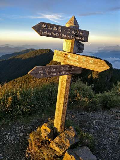
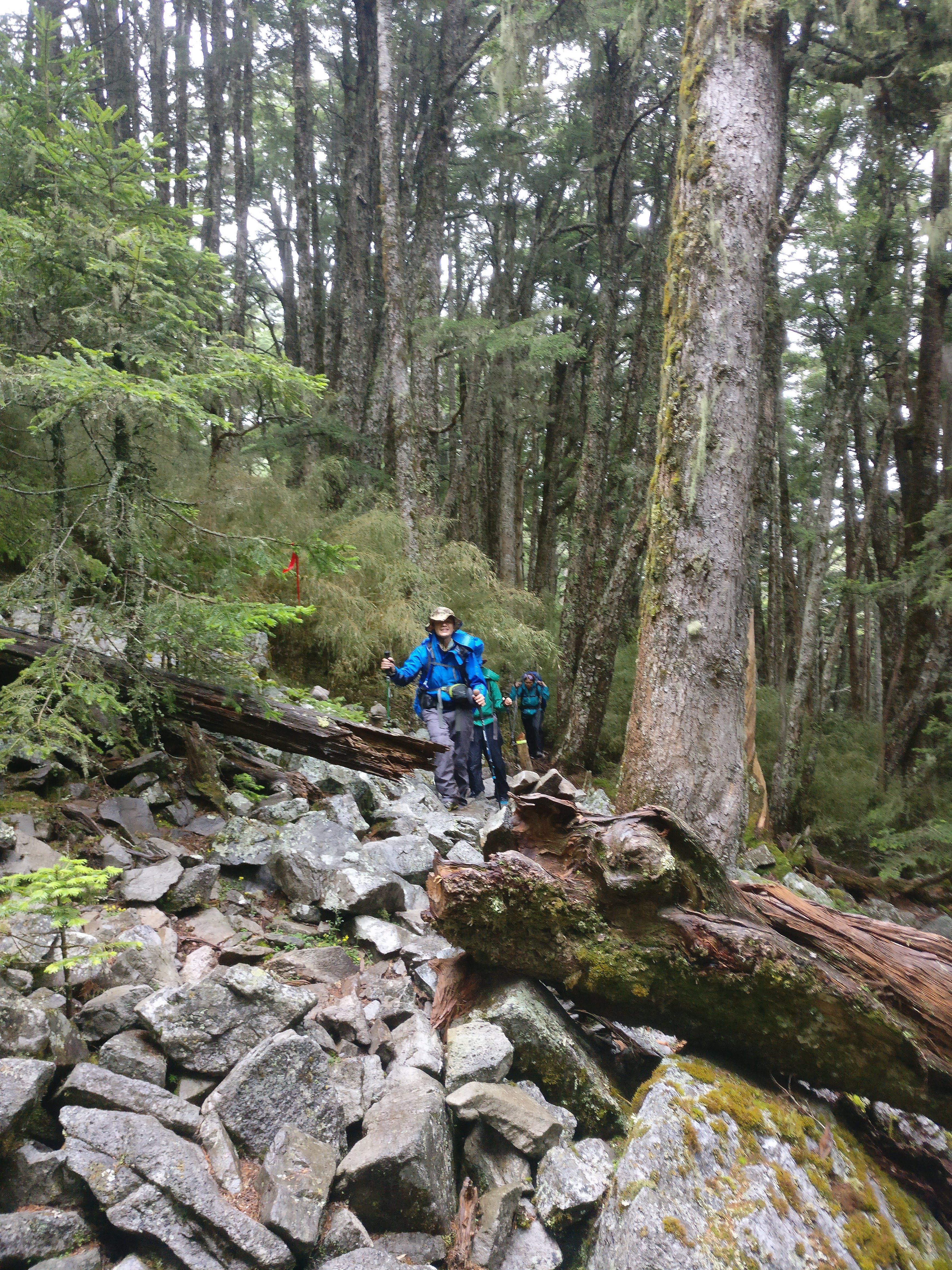
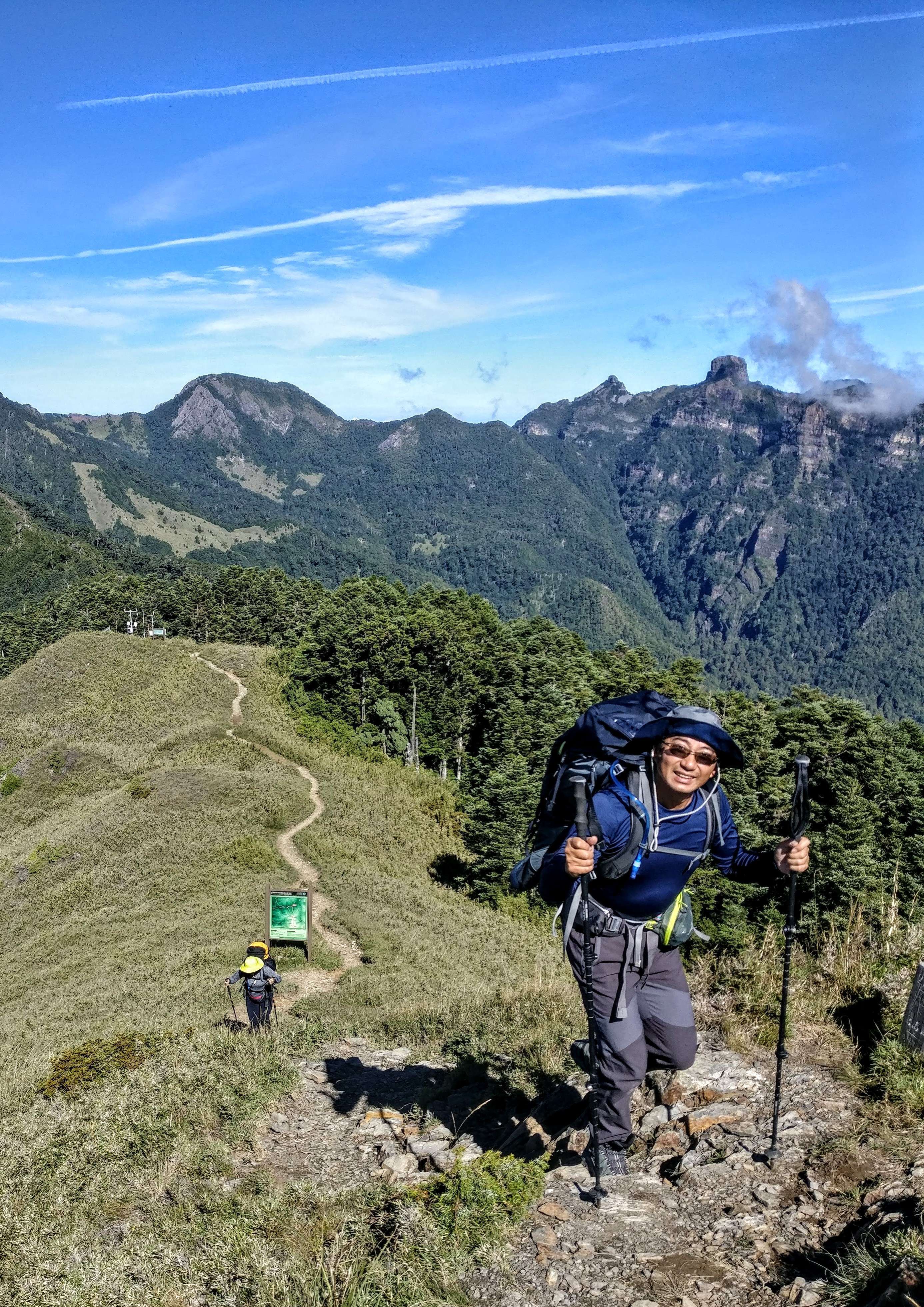
The hike starts where you cross a bridge and follows the big, concrete trail/road that goes to Taoshan falls. But after about 30 minutes, we veered off on a real hiking trail. It was a bit rugged right from the start although I didn’t know it at the time, it would get a lot more rugged later on. And that’s the way I like it!

The first hour of the trek is to follow the well used, wide concrete road towards Taoshan falls. Lots of day hikers and kids on here and very easy. But then, as soon as you branch off to the west, on trail, you quickly find out that it is going to be more of what you expected: rugged, little maintained trail through mostly conifer forests.  The trail soon got steeper, and rockier.
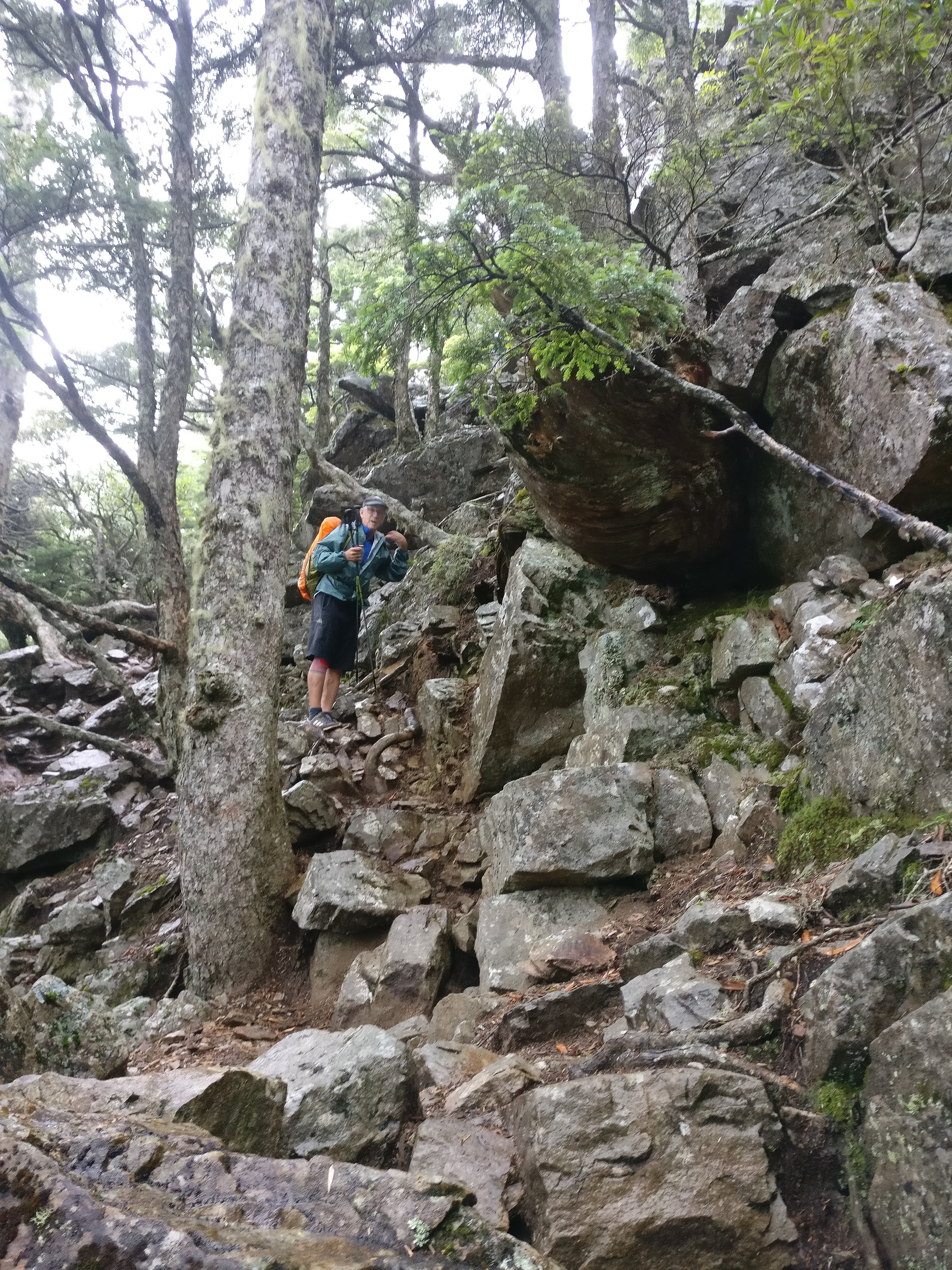 Luckily, one of our group was a farmer and knew a lot about botany and plant life. Having been a logger myself, back in the old days (’70’s), I knew a bit about the trees. Enough to know that the firs and hemlocks and pines looked a lot like the ones back in the USA.
Here’s one that our botanist told us was 600 years old. 
And the famous one in pictures, that is approximately 1000 years old.
 Of course we stopped for a while and took tons of pictures with this one.
We were getting close to our destination for the night: Xinda Hut, we were told it was full and even the tent sites were taken, so we looked for, and found a nice grassy area about 300 meters before the hut. We did have to go up to the hut for water and saw all the people there. (maybe 60?).
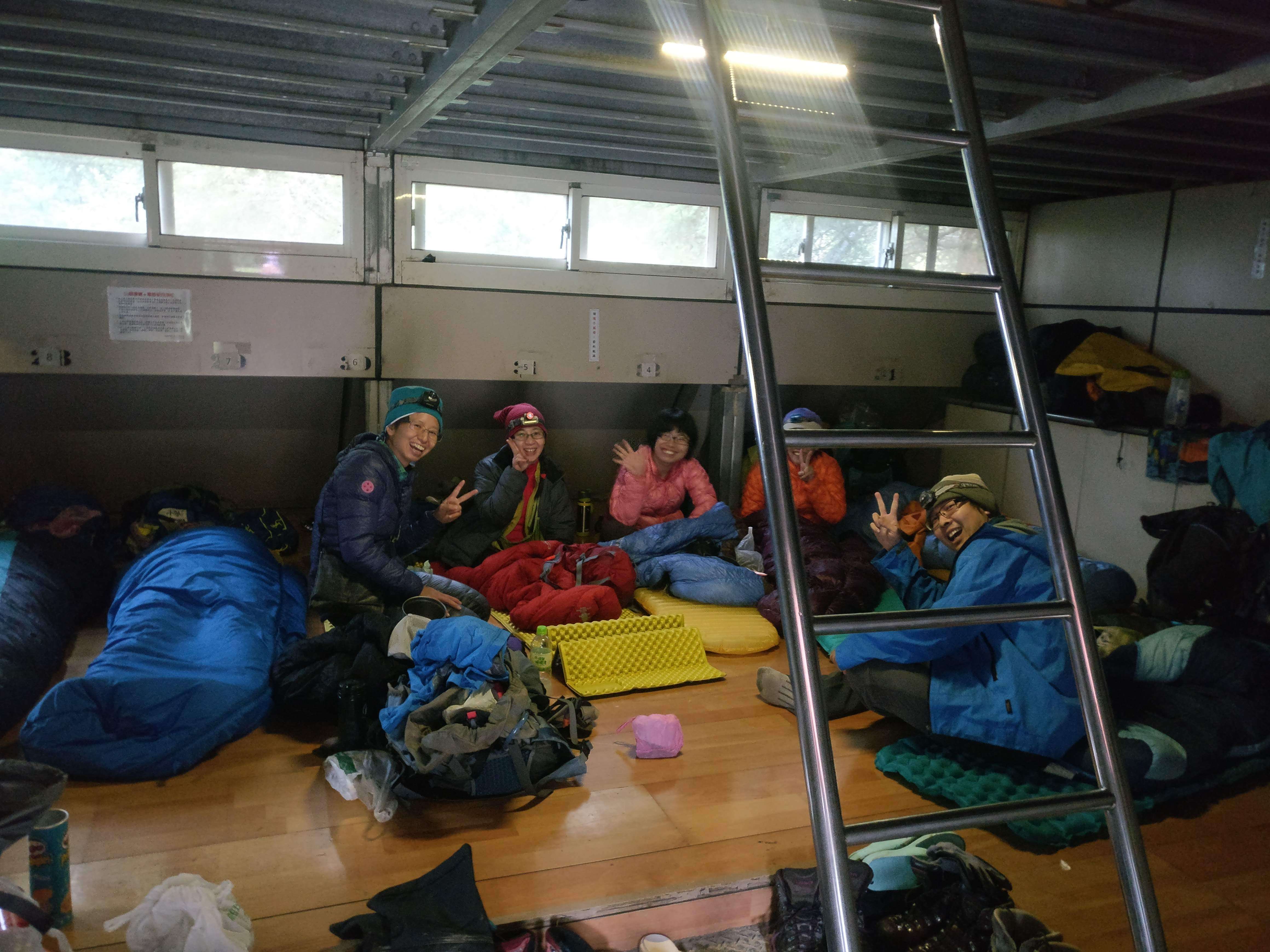
Although they had a much better view than us, I was happy to camp with our group and getting to know each of them much better. They brought out the cooking gear and food bags, and man, it was a lot. They even had a cooking tent (tarp really, but wow, they carry a lot). 
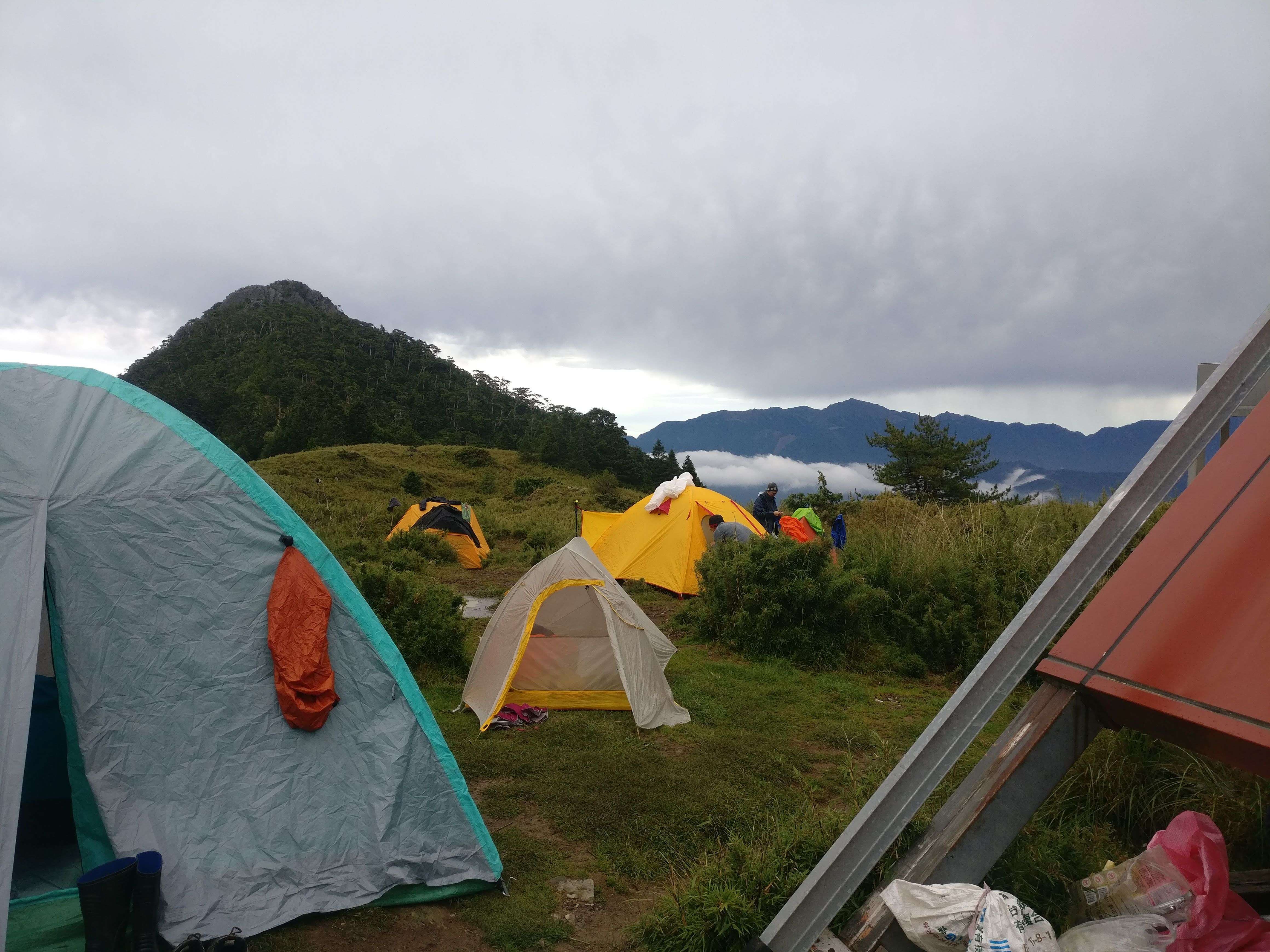
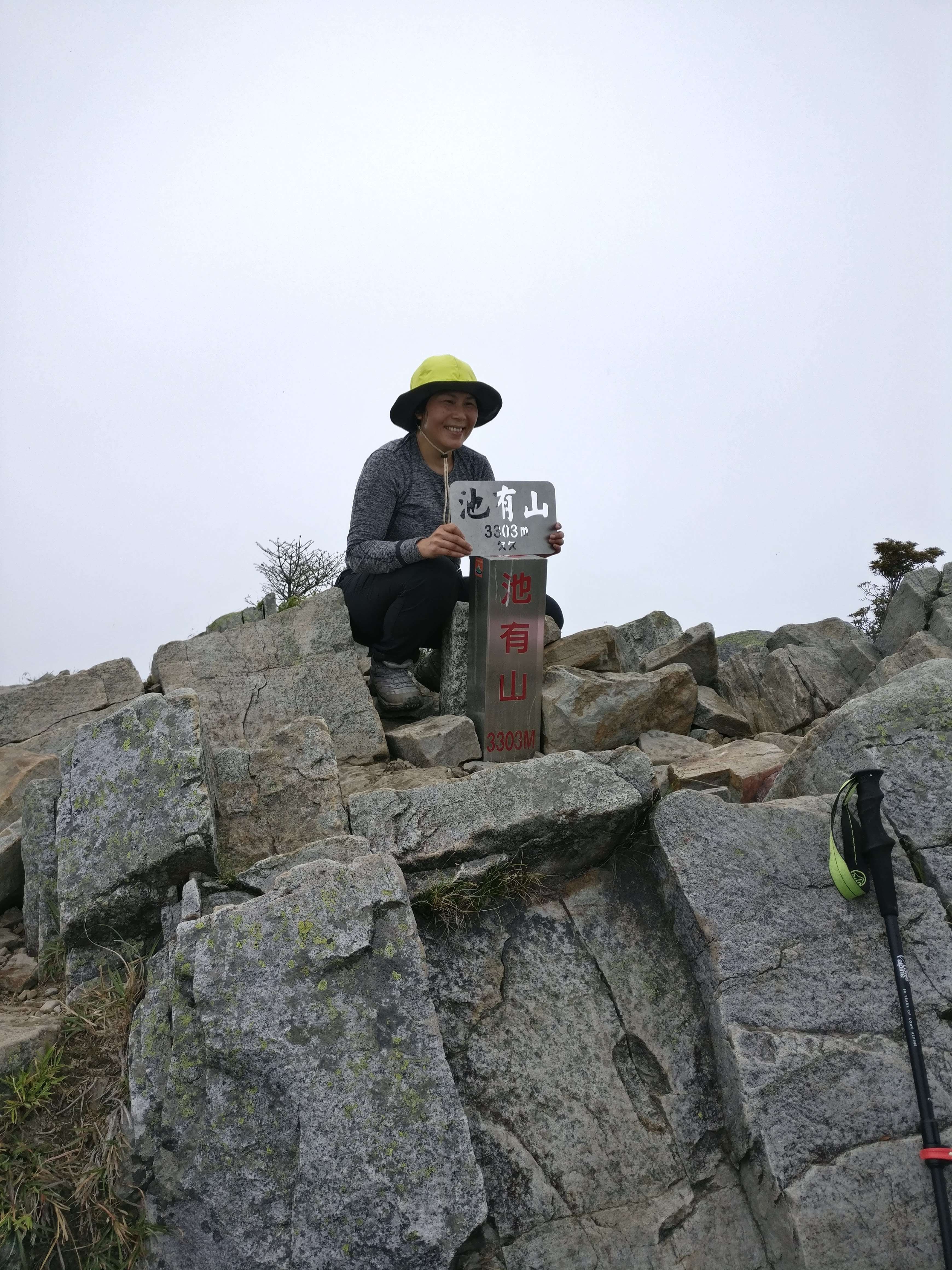
We had heavy dew the next morning and our tents were soaked. So, we decided to go climb Pintian shan or peak and then come back to packup. I said: “seems to me from what I read, this is the hardest of the 4 peaks” . “Yes” they said and I was excited to try these tricky ledges and steep rocks.
So off we went for our first (and hardest) peak of the Sixiu.
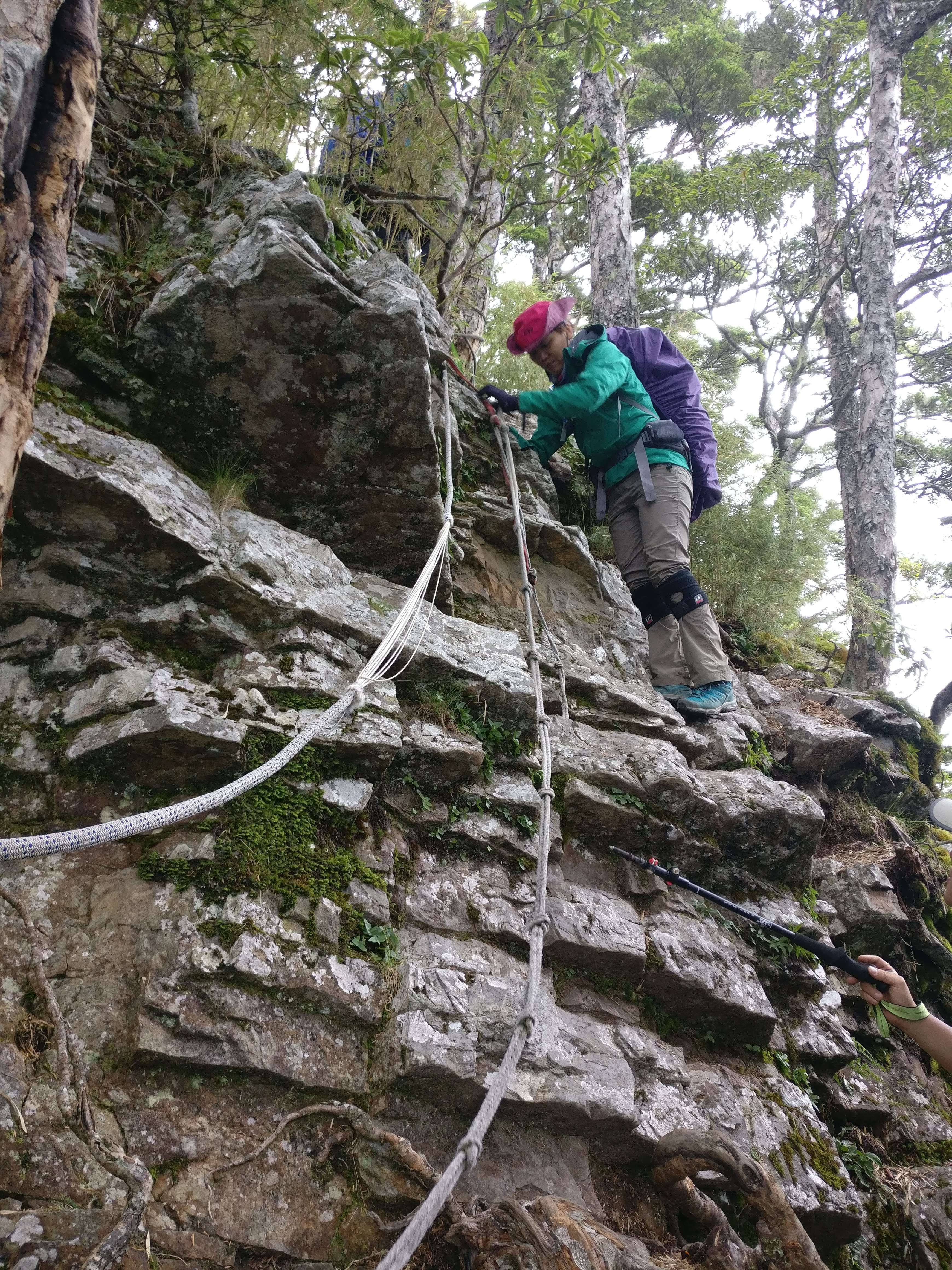
Sure enough, it was getting pretty scary. Especially the ropes that others had tied in to make it easier. But………

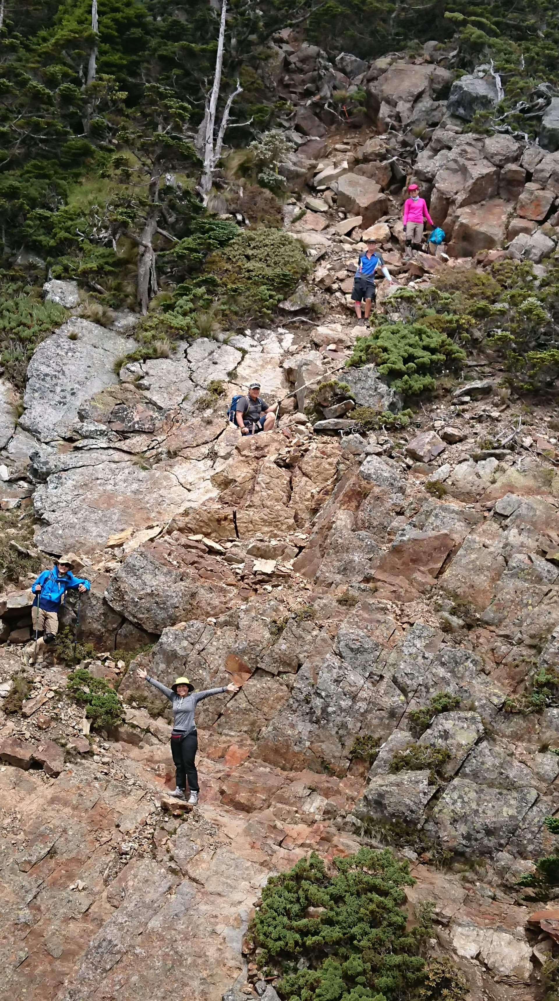
Well, some of the ropes were very handy. Others? Should I trust the ropes? Or the rocks? 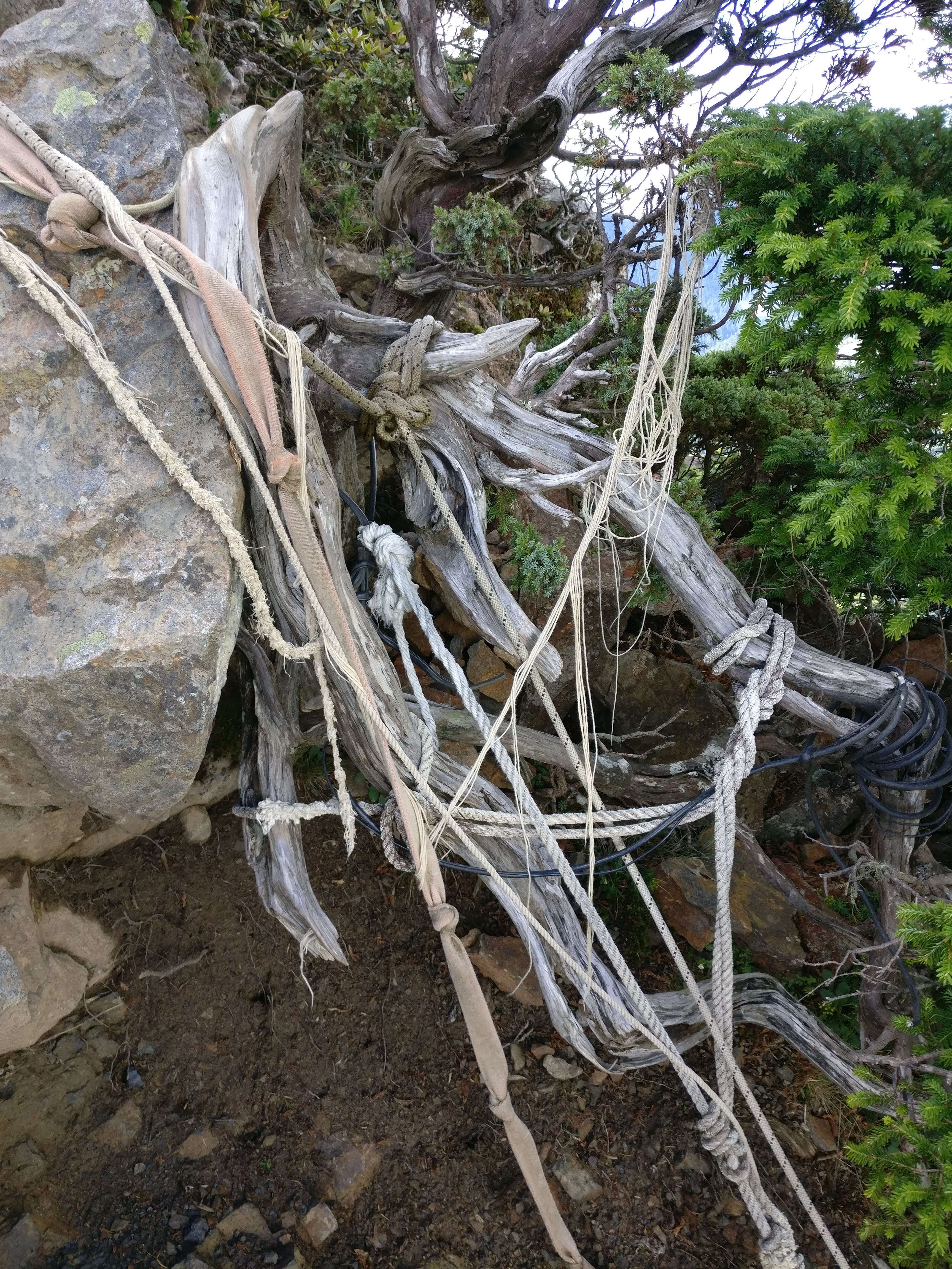

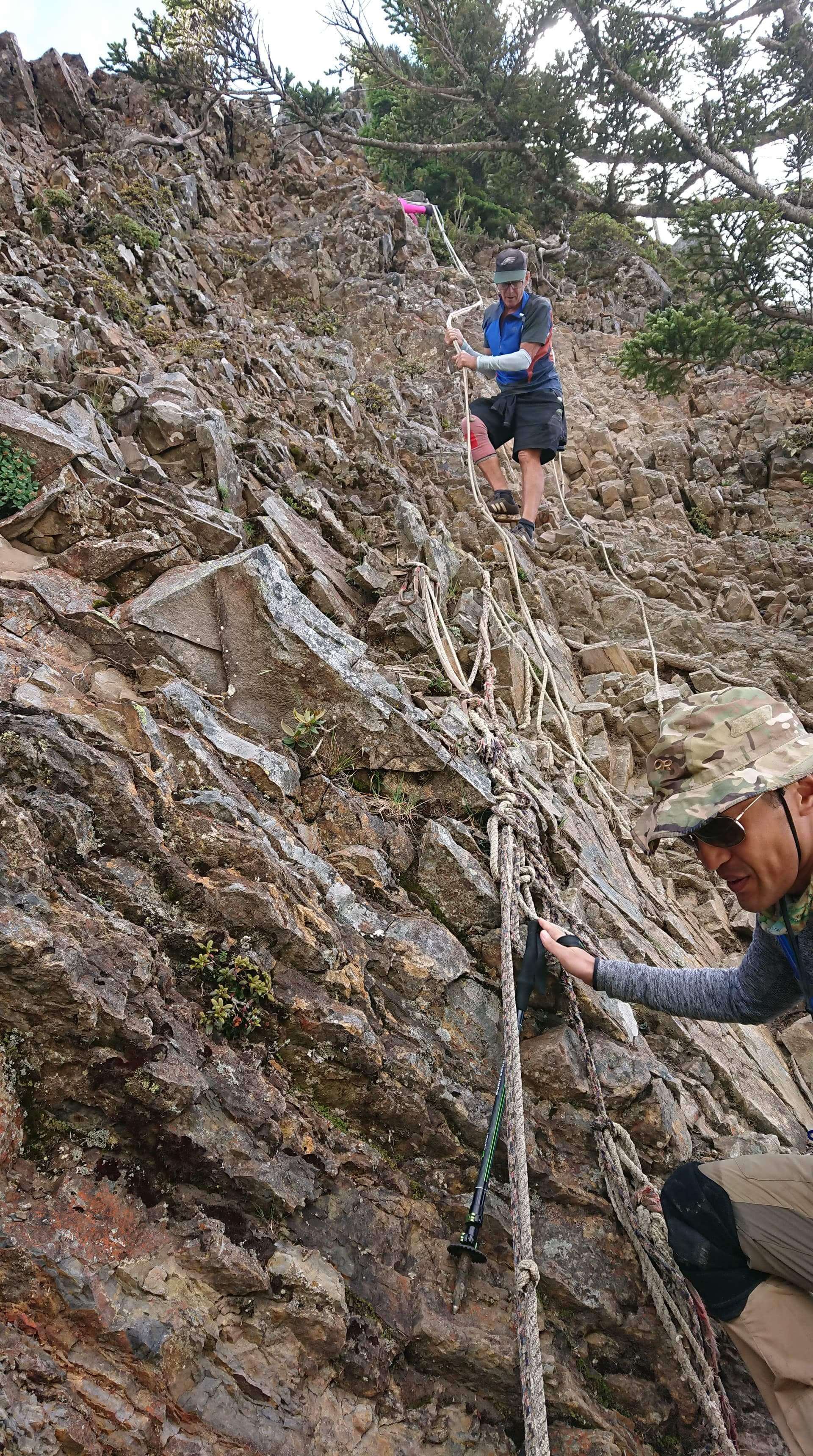

Having done some rock climbing in Thailand, I often chose the rocks.
Looking ahead, we saw some people coming down from the peak. 
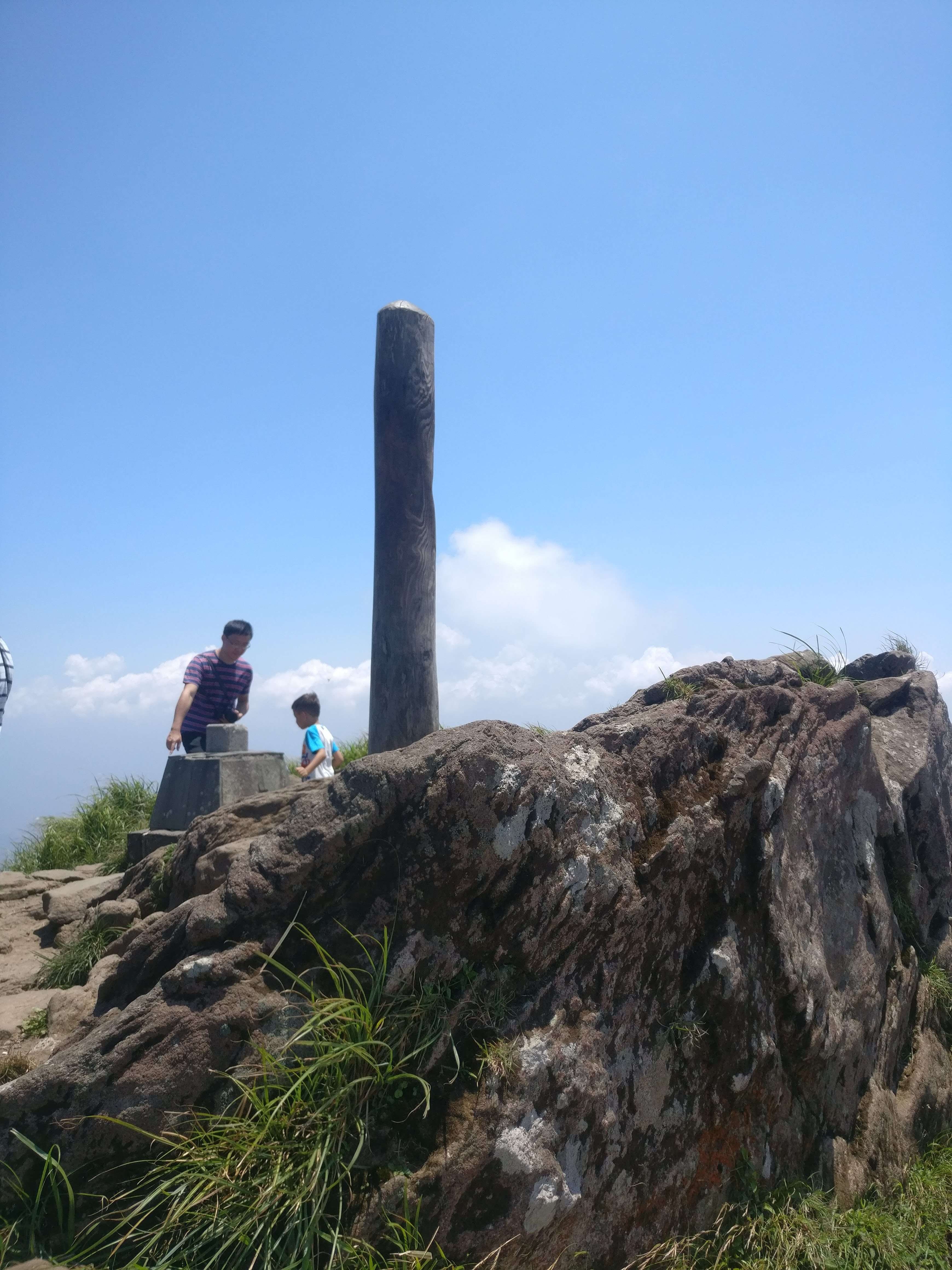
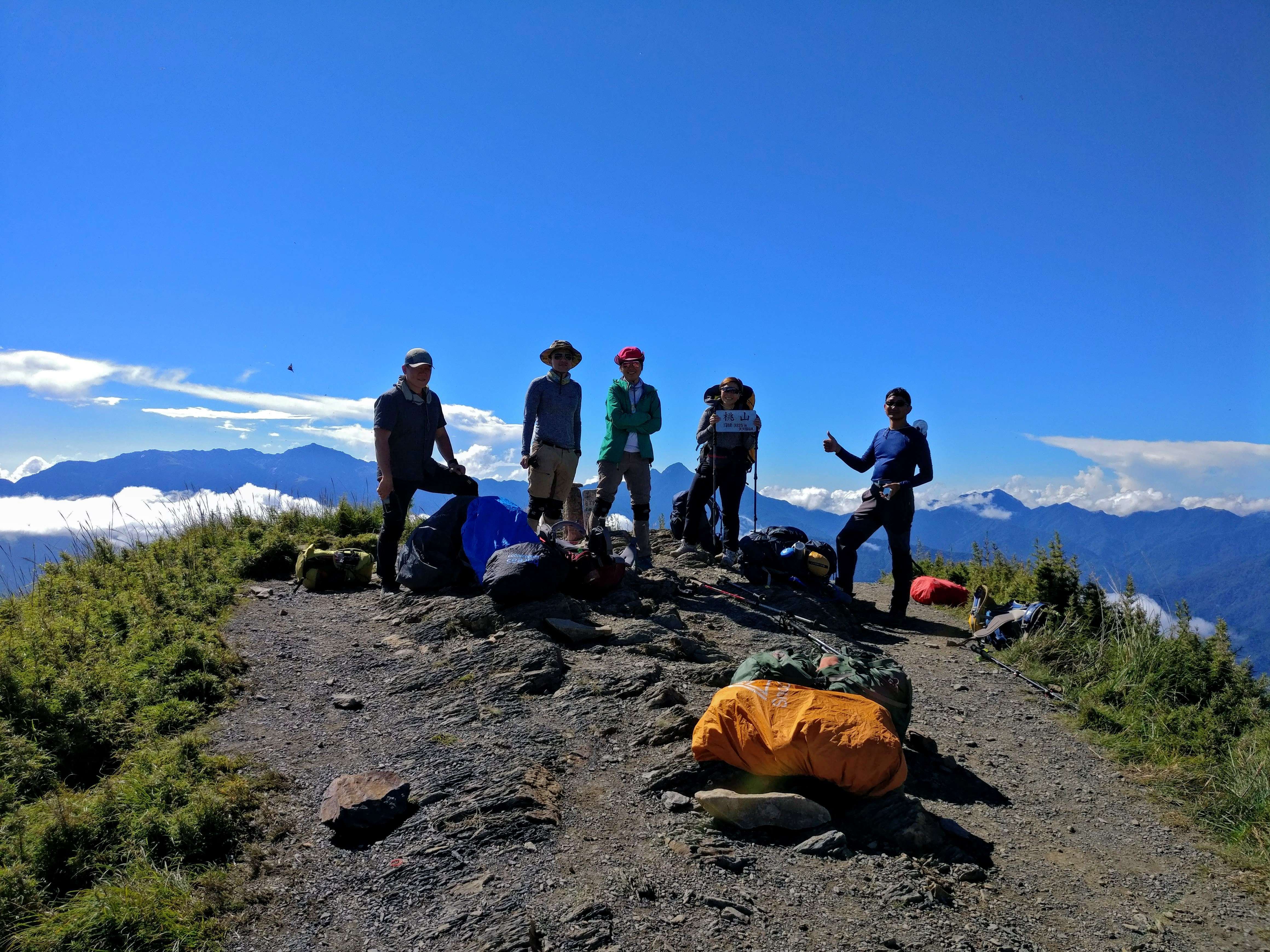
But, finally we made it. And WOW! It was great. Great views, we had the summit to ourselves and there were lots of photo ops.

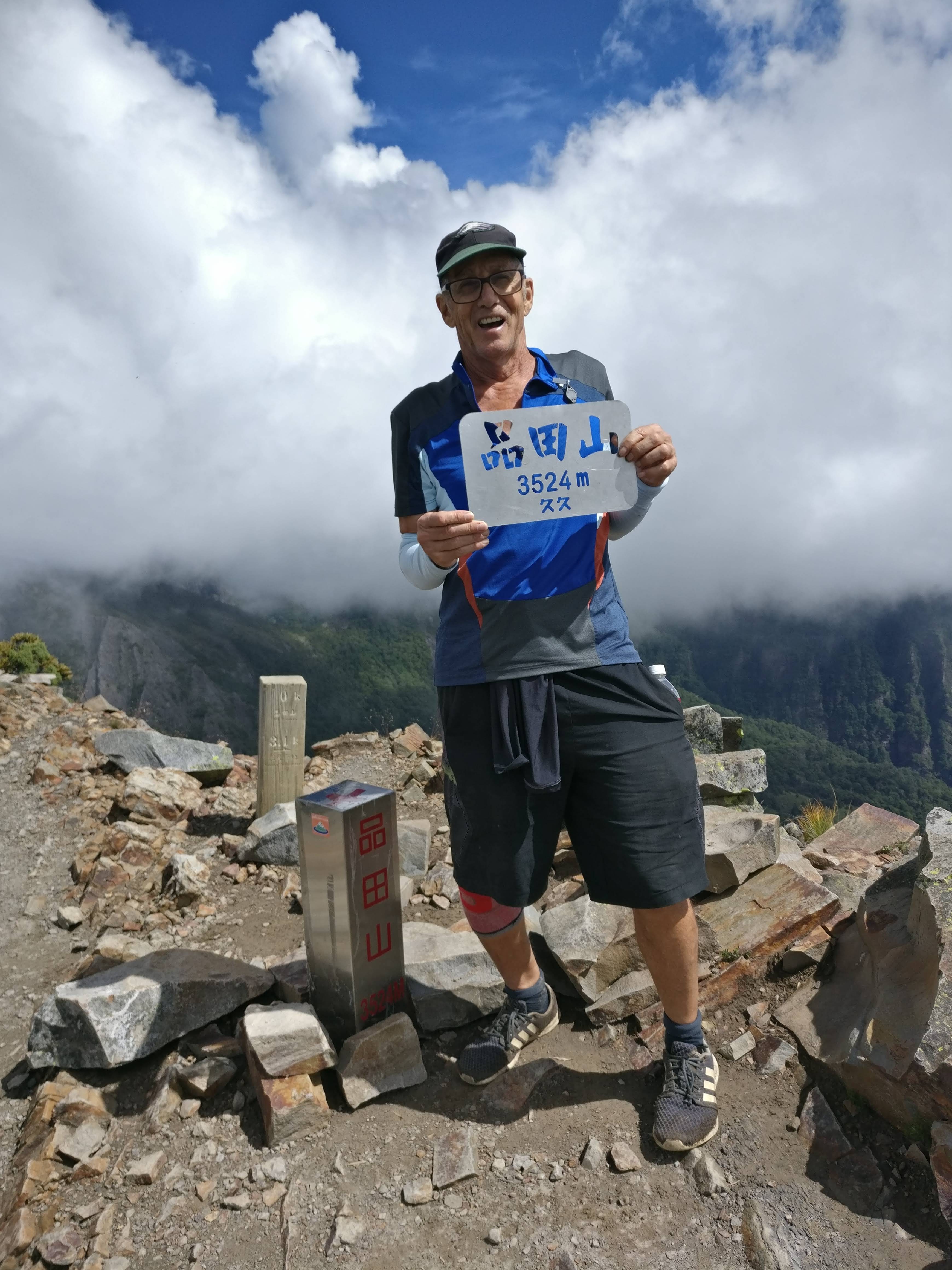

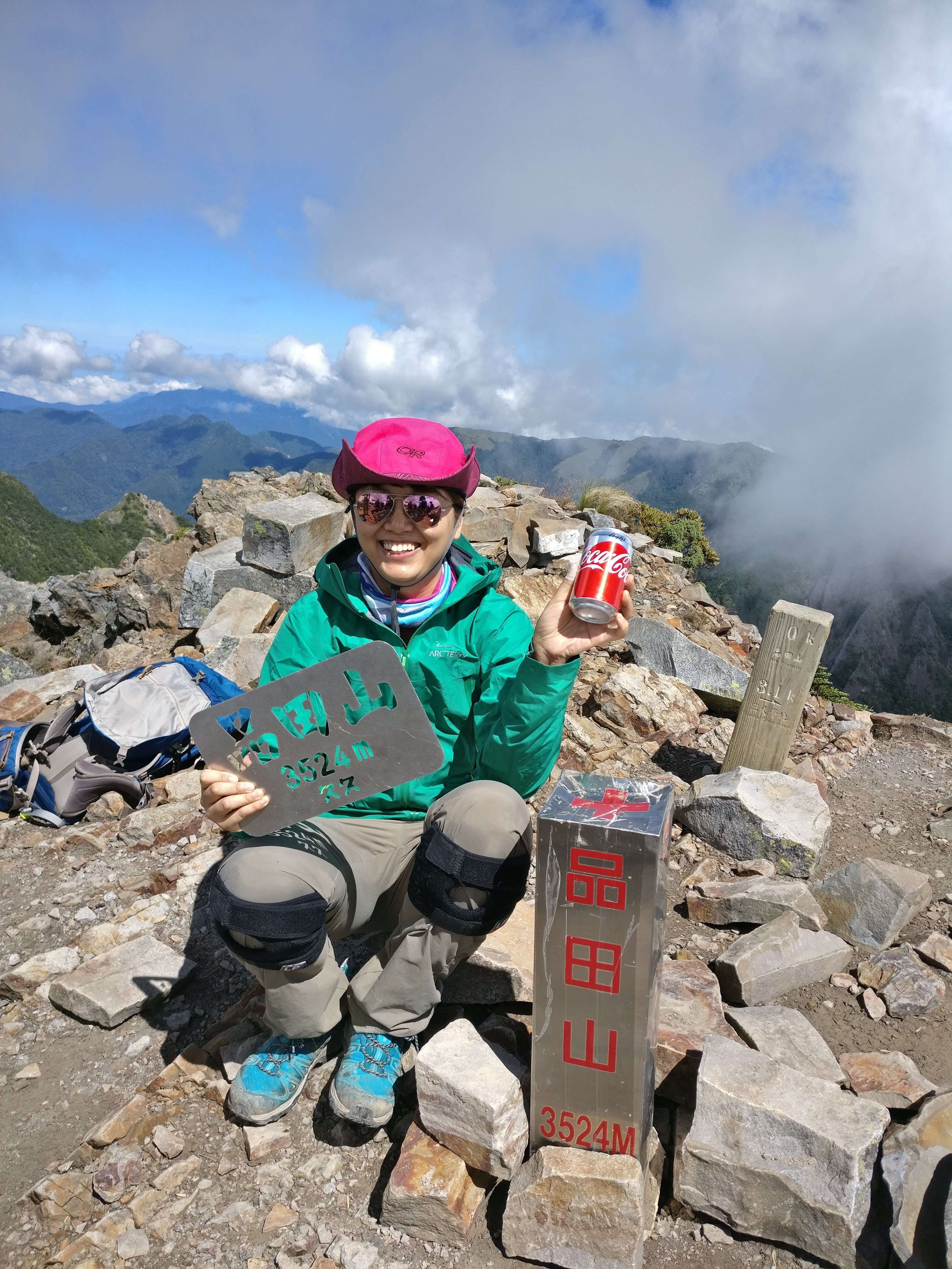
The awesome group I was with carried a can of coke up the peaks to celebrate. I really have to give them a lot of credit as this trail was tough. One slip could mean……….well, let’s just say I was glad for my lightweight and small pack. There’s wasn’t. But they never stopped smiling and enjoying it as much as I was.
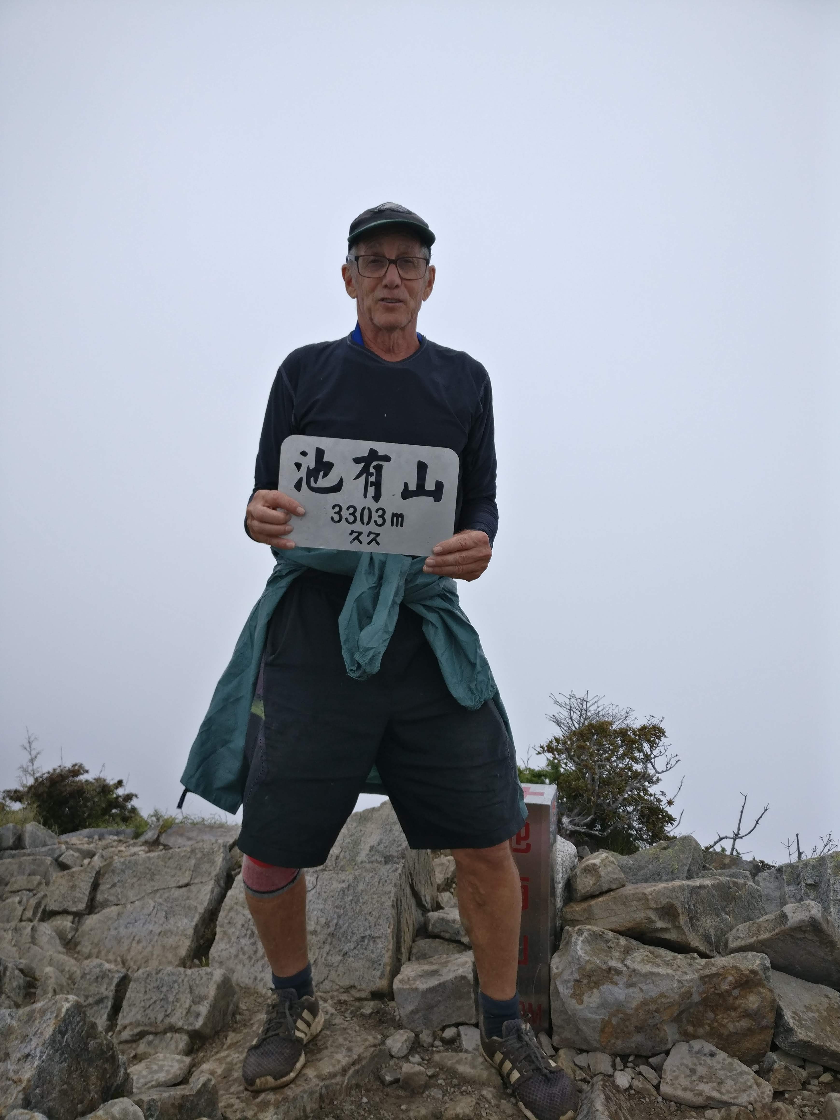
Back down the mountain (just as hard on this terrain as going up, and finally lunch in the same spot as breakfast. We packed up our now dry tents and continued on to the next peak: Chiyoushan
We were told there were 2 ways to go up this peak, a hard way and an easy way. We told the volunteer ranger that we would take the easy way, but when we figured out the hard way was more direct, and we already had Pintian under our belt, we headed up the direct steep route. Too bad it was raining at this point and our views were only of ourselves doing the coke and summit pictures again.
 But the trail wasn’t getting any easier. More ropes, more steep, and slippery trail, and now were were racing the clock to get to the next shelter or hut before dark. But there were at least a dozen places where we had to use the ropes and it was really treacherous. For one thing, it was raining, then we had just climbed 2 of the 4 peaks, and now the trail was getting harder and harder as it was going almost straight up a knife edge ridge.

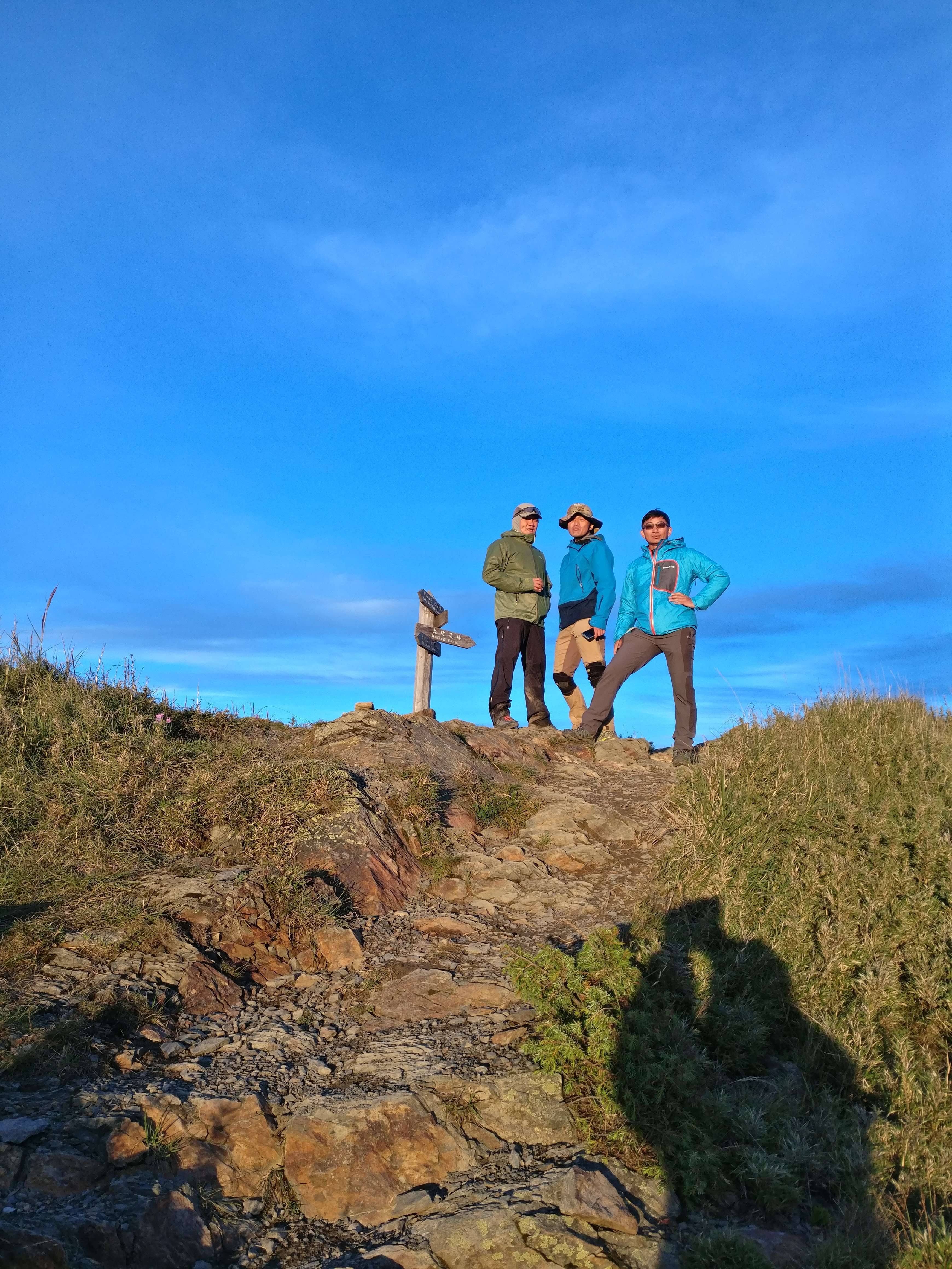
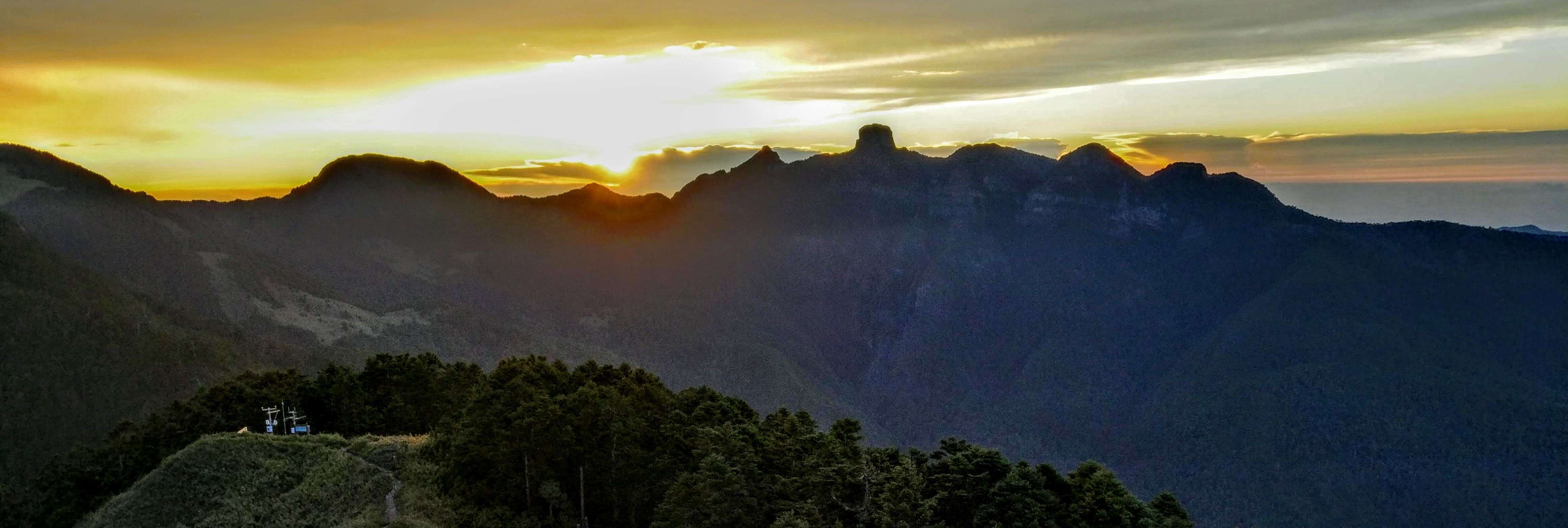
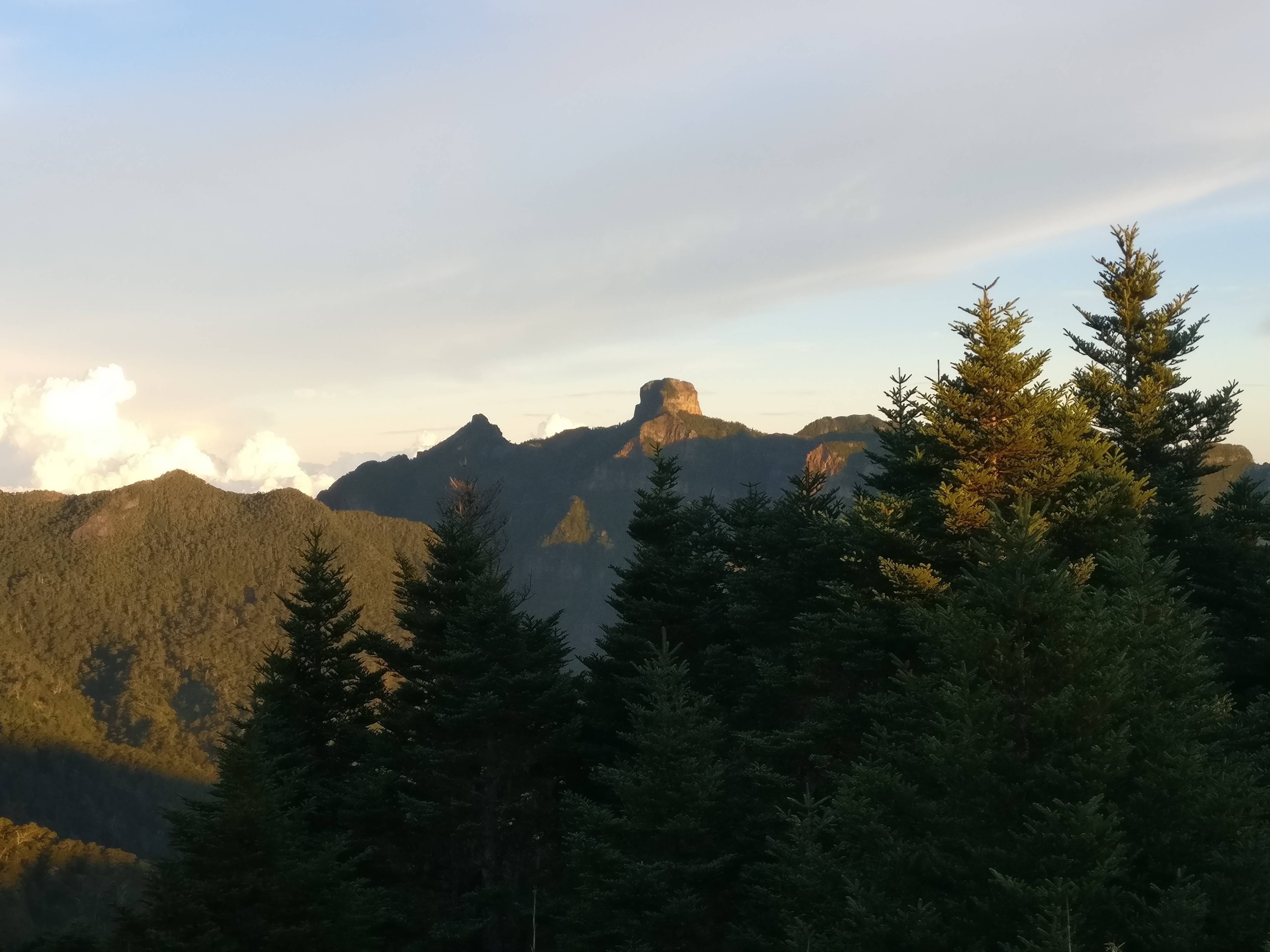
Finally we made it. The last km had signs every 100 meters although they didn’t seem that close. And there was only a few people in the hut. But first, it was just about time for sunset and the Taoshan peak was only another 200 meters (so the sign said) so, the guys all hurried up there to catch the sunset. The girls stayed at the hut and I must say, their pictures were just as good as ours. But we all got some good ones.


Back to camp and a late dinner and good sleep as THAT was a good day trekking.

In the morning, we headed back up for sunrise although I was a little late because I slept in a bit.
Then breakfast, and THEN back up again, as our trail would take us over Taoshan mountain to go down.
So, more pictures each time of course.


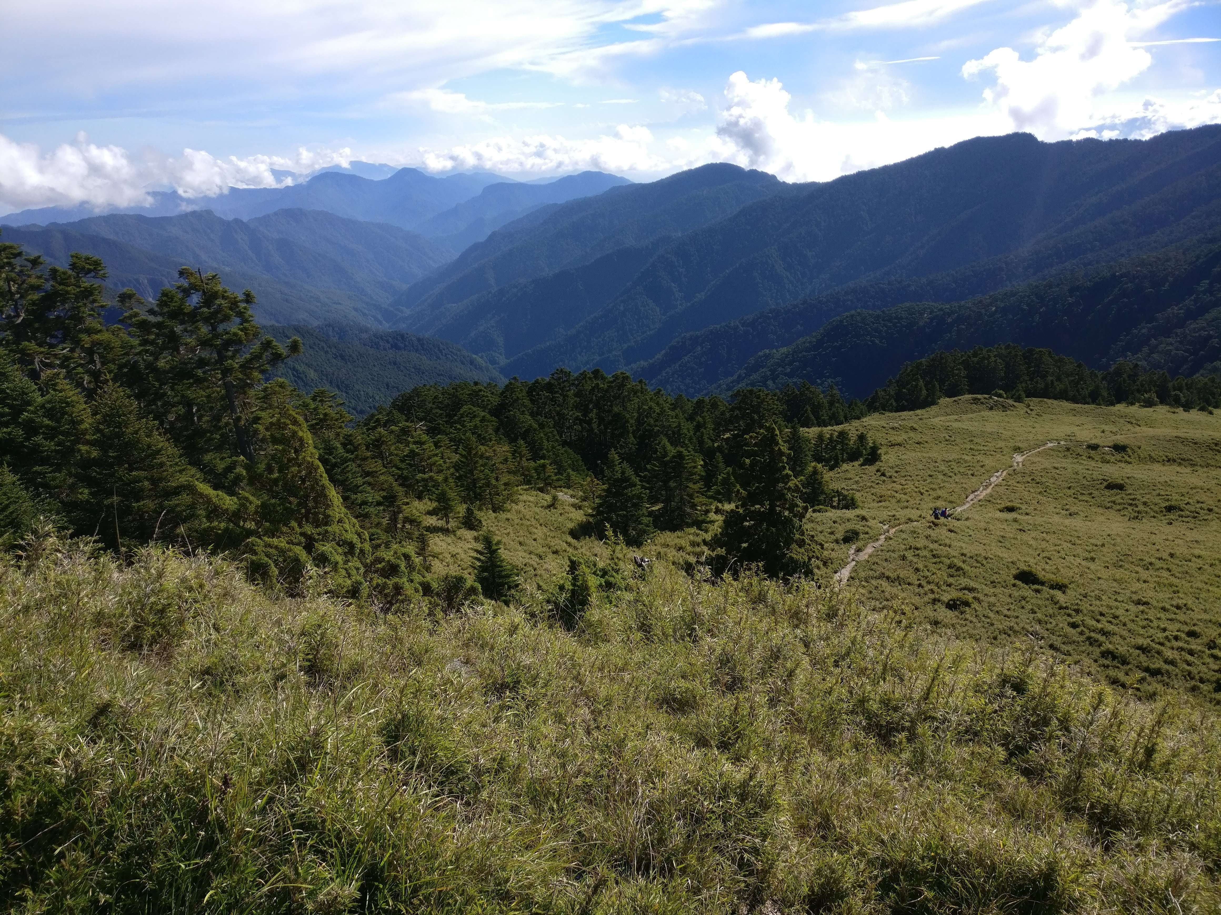
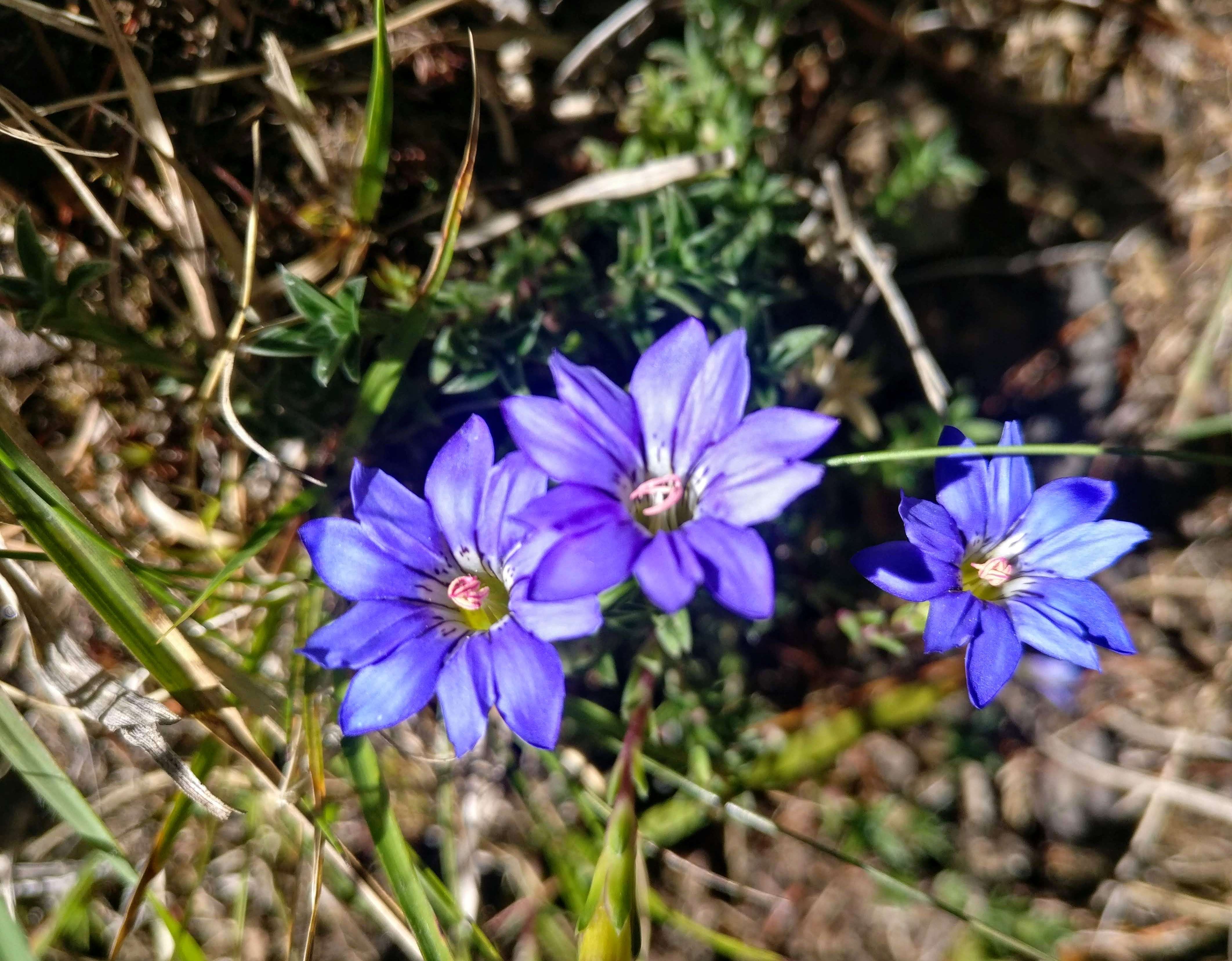
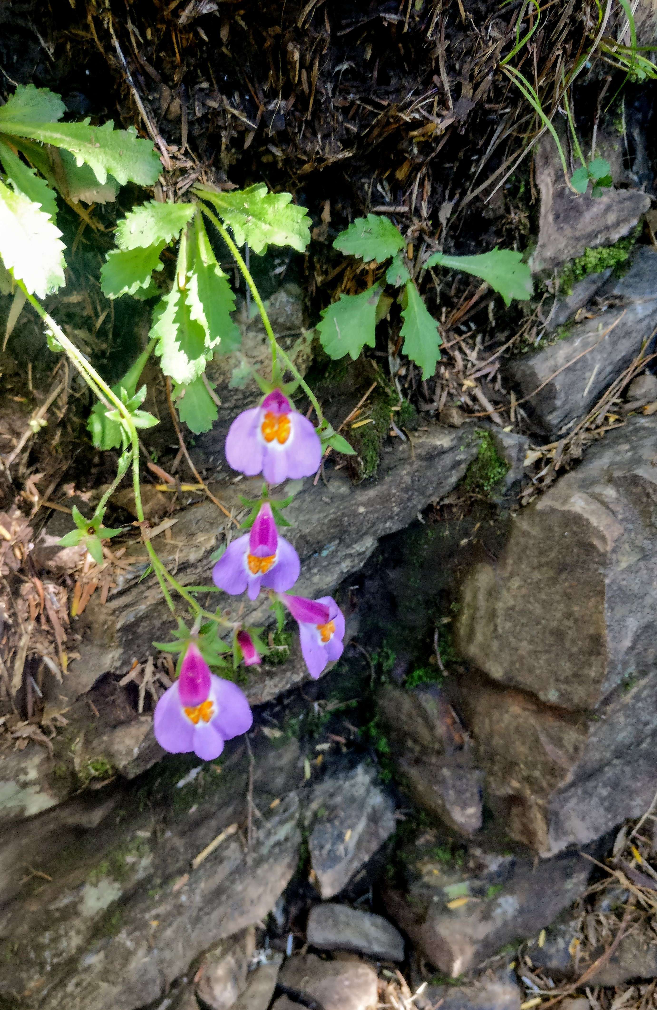
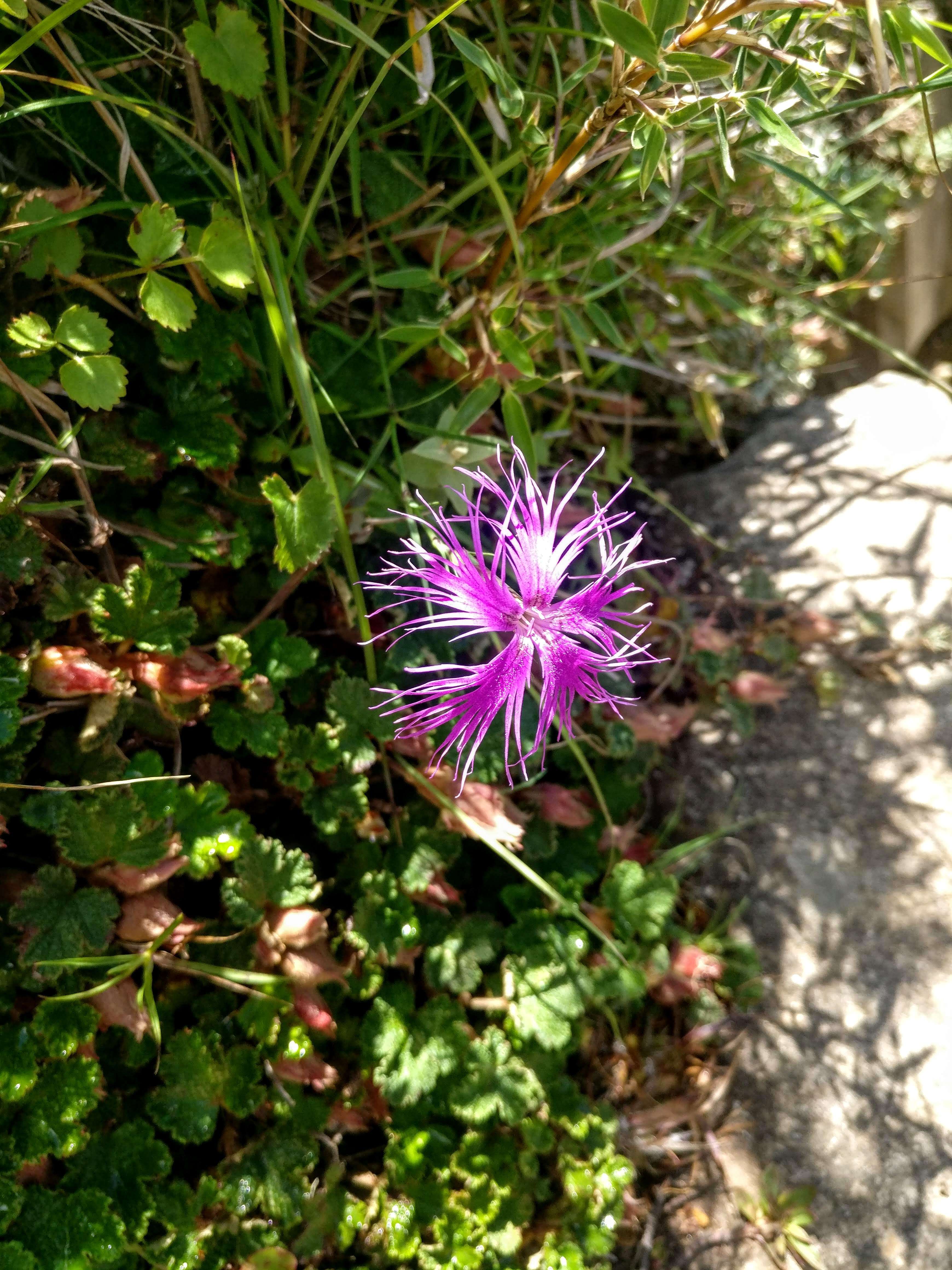
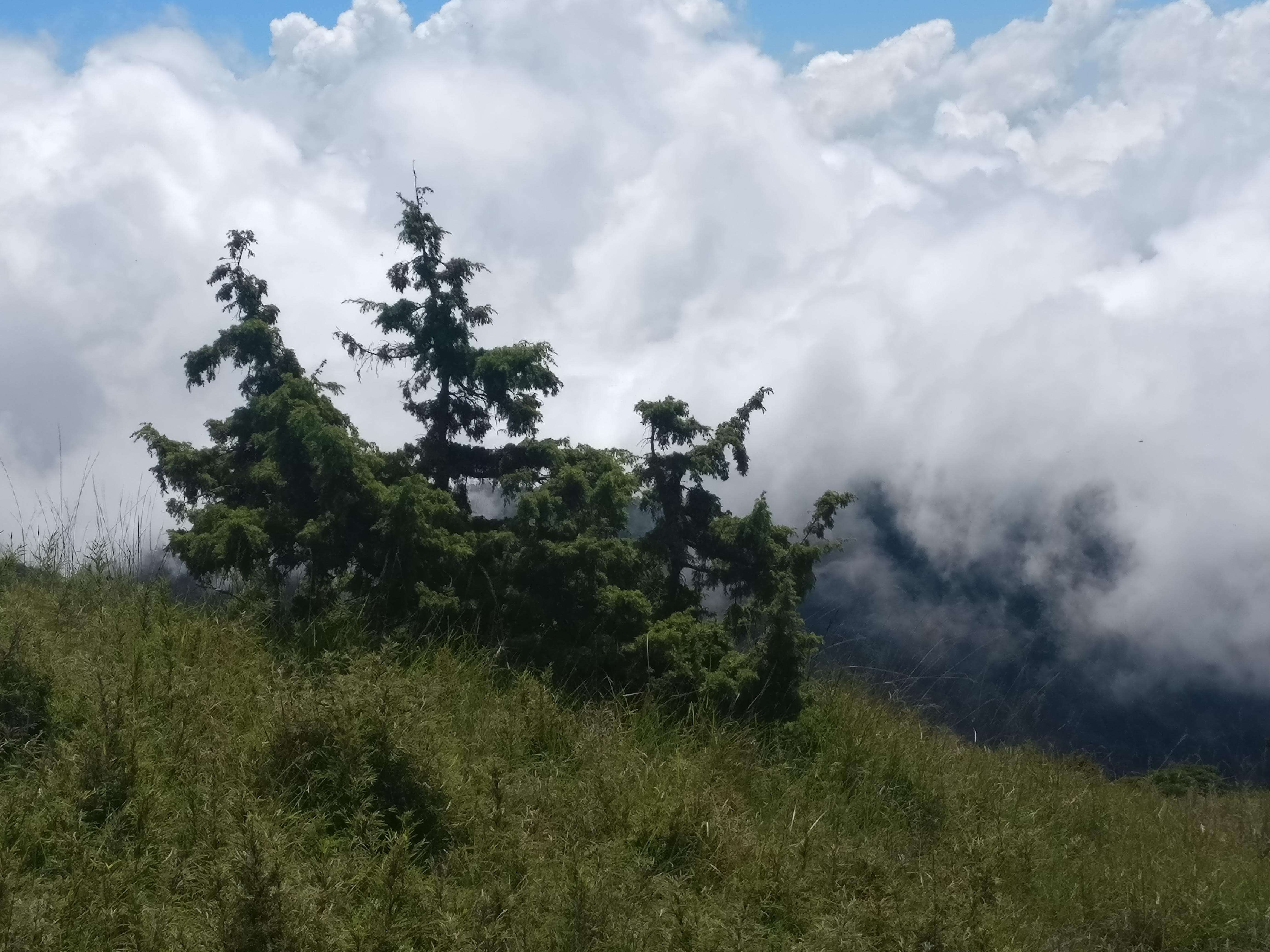
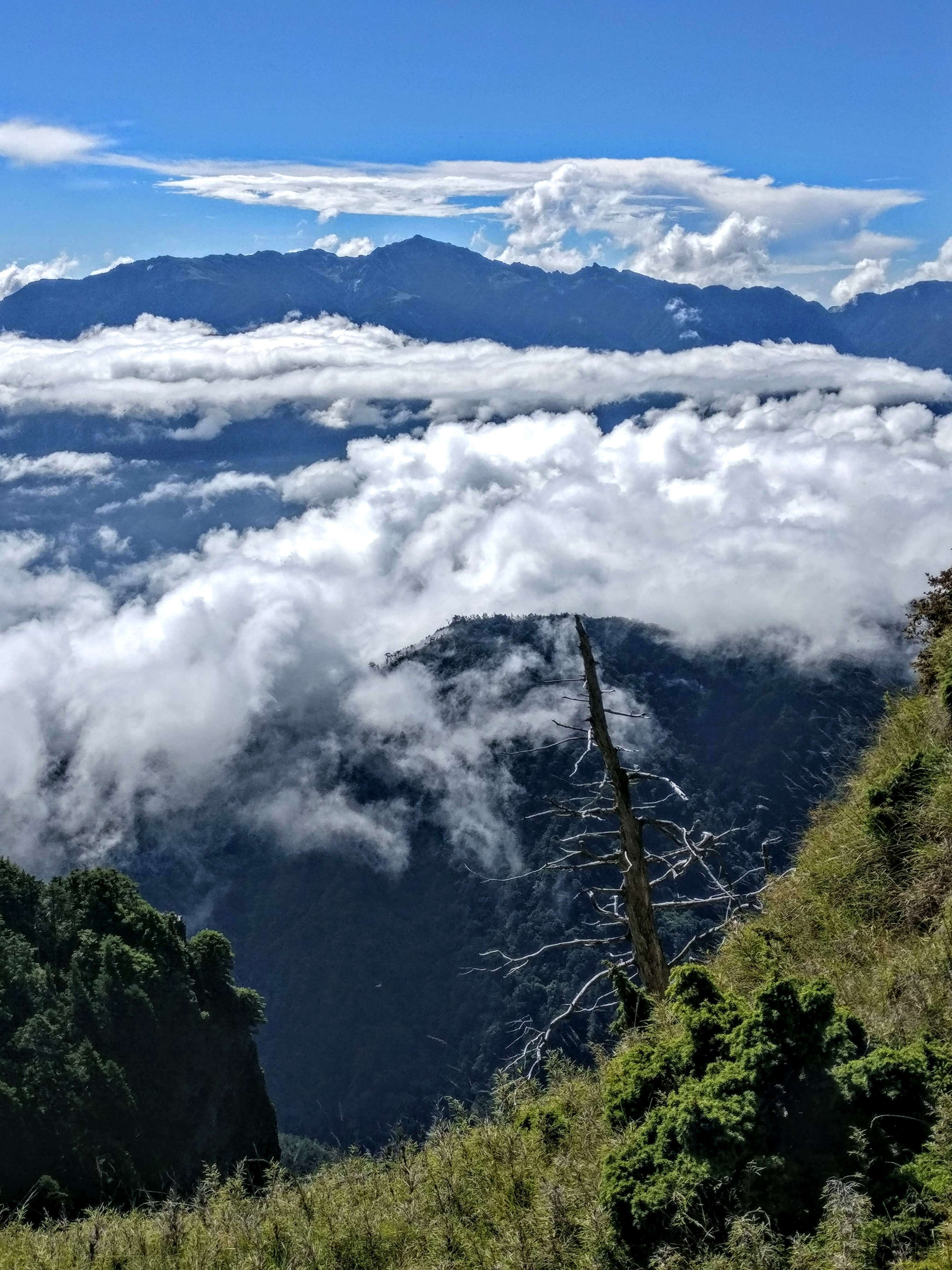
Now, for our last steep and long downhill. A 1400 meter descent (4500′) But a beautiful one, as we were above the fluffy white clouds. Wildflowers were in abundance and the trail was great although we still had a few spots where ropes were installed to help.
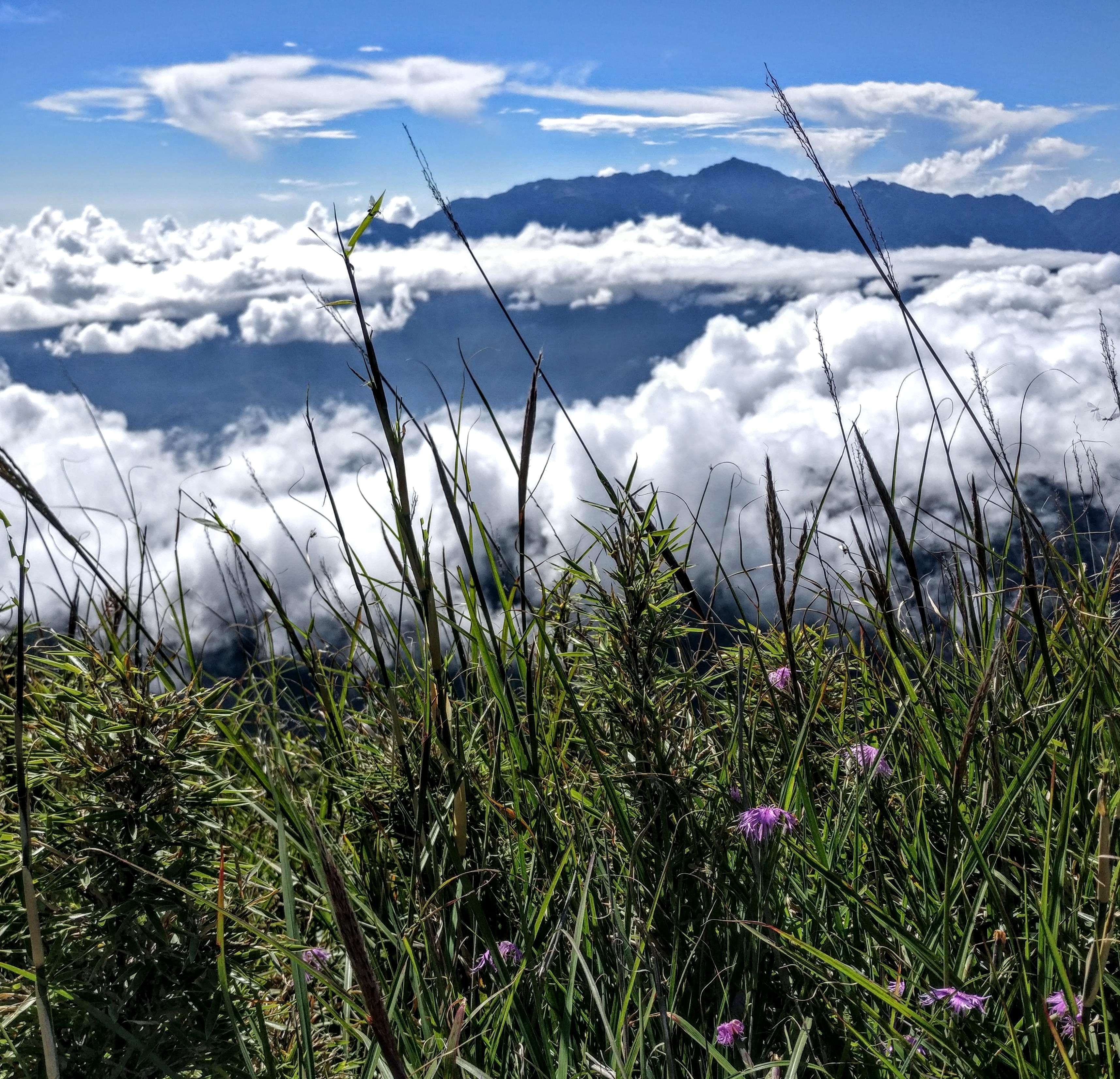

We had good views of Wuling Farm in the valley below from time to time. 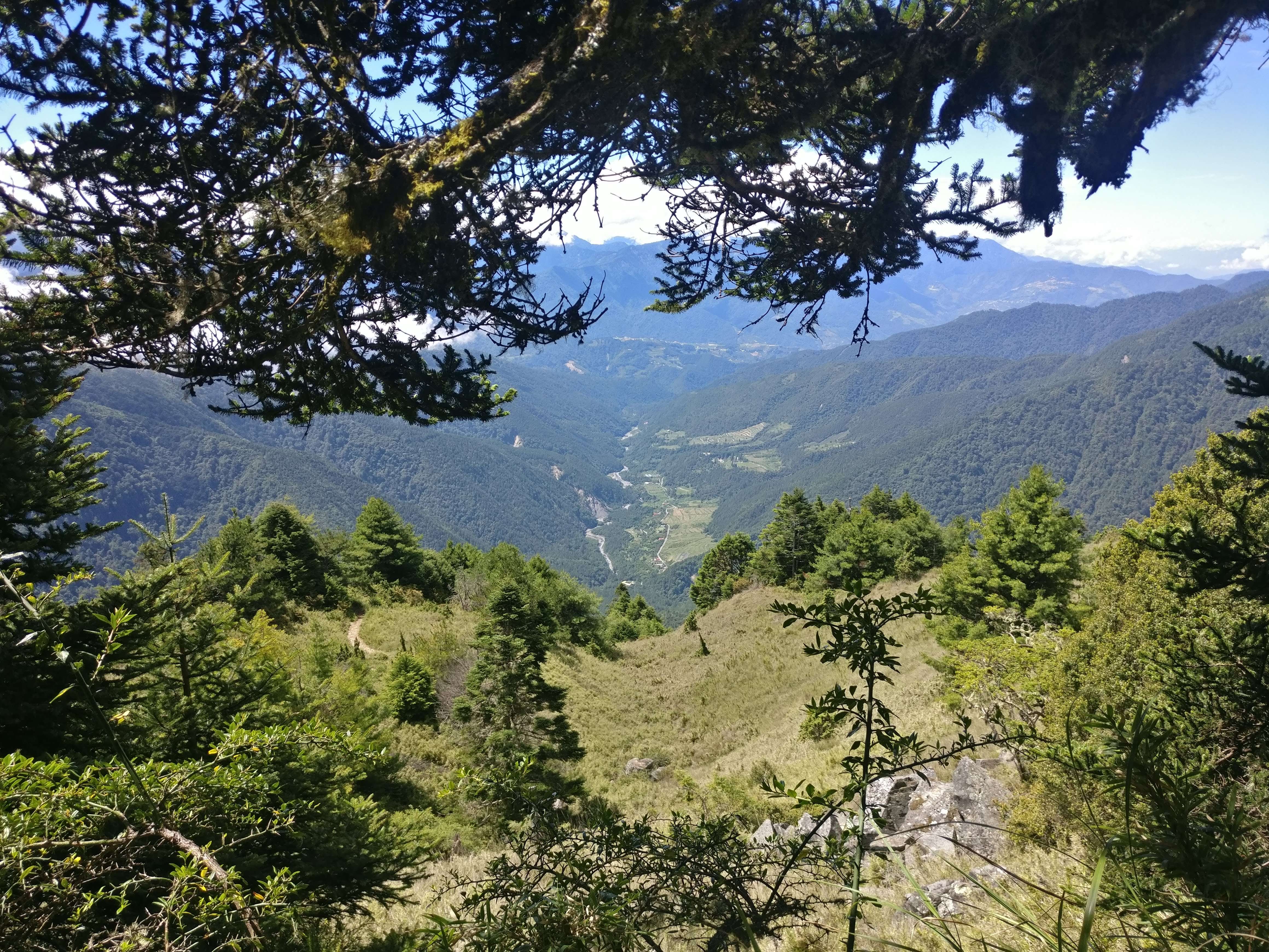
Thanks so much to a great group of new hiking friends for me: Sophia, Frankie, Dennis, Strong (and he is) and JayCee

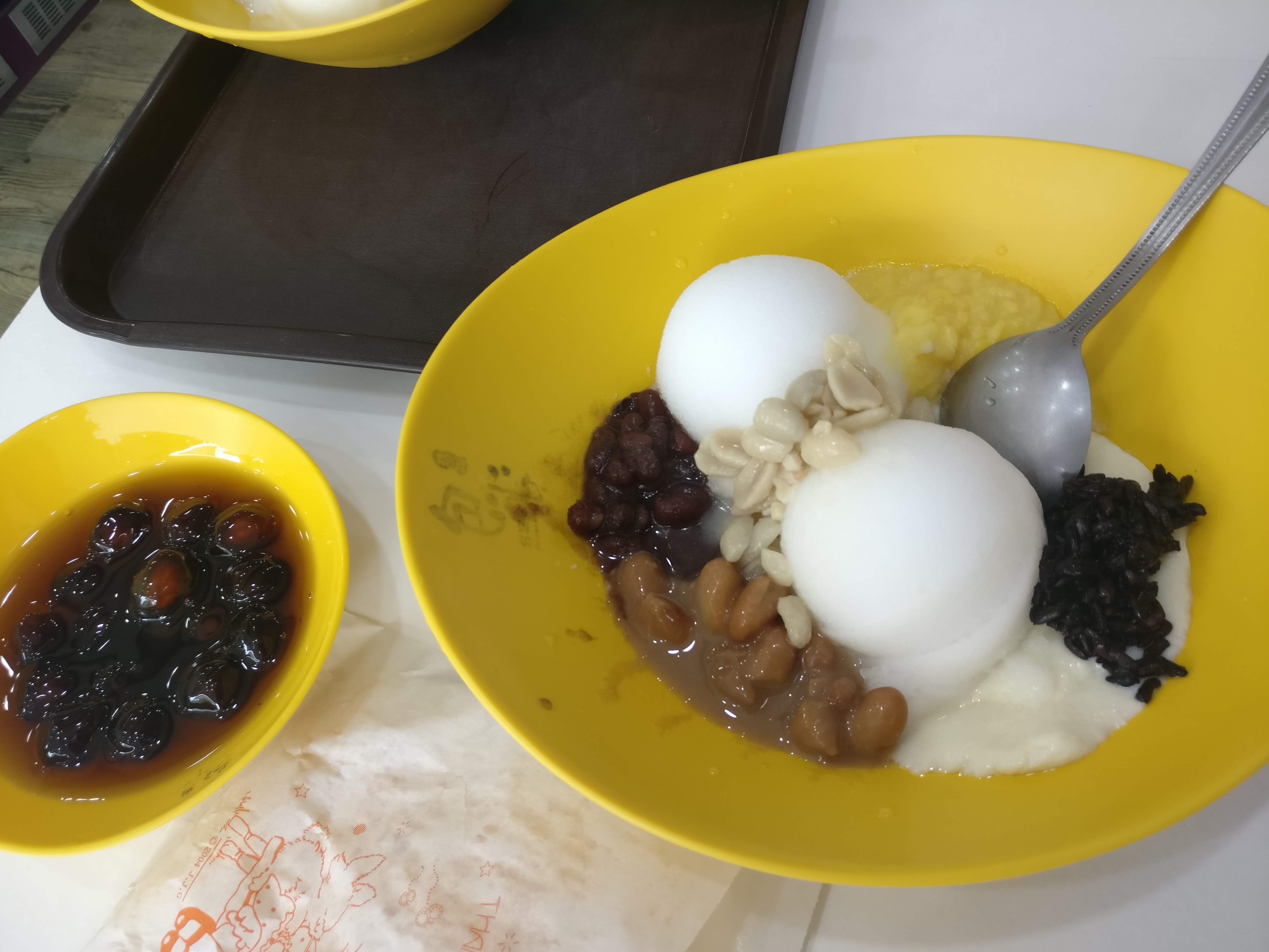
In closing, I have to add one more thing: On the way home, we stopped at an amazing hotpot restaurant and had a really BIG meal. I couldn’t have eaten it without the fork they graciously found for me in the kitchen as I was having a bit of trouble keeping up with the chopsticks!


(and that’s only my portion!)
Plus AYCE ice cream too!