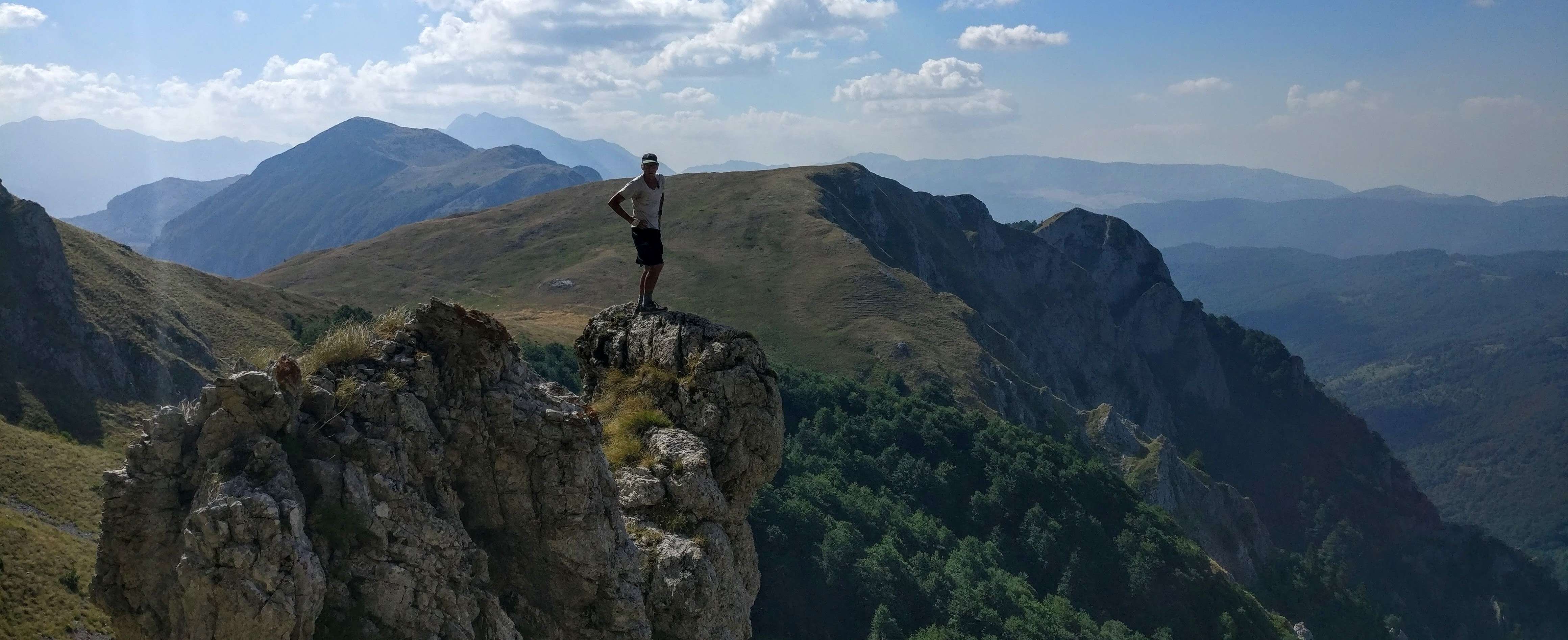
Bosnia / Herzegovina
July 30th (27th day since the start in Predjama, Slovenia)
Slovenia and Croatia had been great, but we were ready for some bigger mountains and more rugged country. So, we entered our 3rd country on the Via Dinarica: Bosnia/Herzegovina! (simplified in this writeup to simply “Bosnia”)
But first, I have to tell you a little story about our entrance into Bosnia. We were hoping to get some food for resupply nearby the immigration point as often there is a store there, and post office to buy a SIM card etc. But, nothing here. Only hot, shade-less roadwalk again. But here, about 100 meters from the checkpoint, a car pulled up and asked where we were from? We said America (a little hesitantly as this was a supposedly Muslim country) and the guy inside handed us one of the biggest candy bars I’ve even seen, and said: “Welcome to Bosnia” That was cool! What a welcome.
Next we got to a store that had everything . I was worried about a SIM card because they are not so easy to program for outsiders. Especially if you don’t speak the local language as you must talk to someone to authorize the temporary one. Well, this girl at the store helped me for the hour it took to get it all straightened out and refused any tip or money for her troubles. Another sign of friendly and welcoming people, seemingly happy to have travelers coming through their country. A good feeling for sure.
The big lake was popular and we stopped at a beach and took a swim, washed a few things by hand and enjoyed the views. Our trek this day would take us around most of the lake and we ended up camping alongside it in a secluded spot, looking back on Croatia and the windmills we had passed that morning. Here’s the view from our campsite that morning. 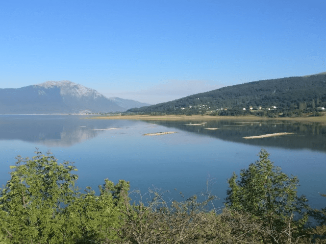
Leaving the lake, it was up on a new road that is being built to install many windmills. The road is wide, with no shade and seems to go on forever. I think we saw one car or truck in about 10 kms on this road. Saw some windmills going up and the security guy came after us to tell us we were on restricted land even though we were following our GPS track. So, we did some bushwacking but it was easy. Across a farmer’s field.
Eventuall our bushwhack went down steeply to a huge valley and lo and behold: A pizza shop. This was very welcomed as we saw it in the comments and were hoping they were open. Not only they were, but a young couple came over and introduced themselves while we were waiting, and told us they also hike and live nearby and we are welcome to camp in their yard, 2 kms down the road. So, we ate, and drank and then walked the 2 kms on full stomachs to find this great family on their little self sufficient farm.
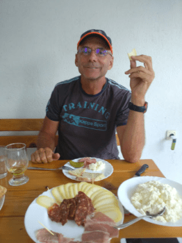
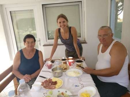
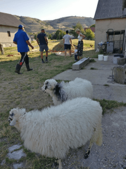
They were so friendly, and we used Google translate a lot with the parents. When we asked where would be best to put up our tent, they said, oh no, you sleep in the bed and give us your clothes to wash and the showers are over here. Well we had already eaten but, it was hard to say no to more food as they brought out a homecooked meal made with homegrown everything.
Wow! And we thought Bosnia was gonna be the least friendly country for some reason.
We got a good tour of the farm, had a huge breakfast also with this great family and then they showed us the best way across the valley as the retired father walked it often. They went with us for about 3 kms and we said goodbye in the middle of the valley. 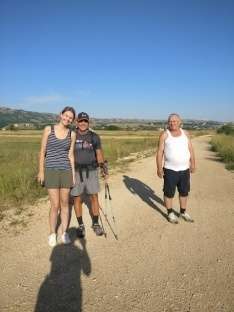
We stopped at a house to get water on the other side for the long climb up the next mountain. It’s good we did, because there was none to be found for a while. Again, they offered us red bull, and beer, and lemonade and…………..well, these people all wanted to help us out. It was great.
The next mountain had some great views in all directions and we could see the windmills and Croatia behind and also the big mountains ahead. 
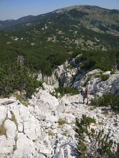
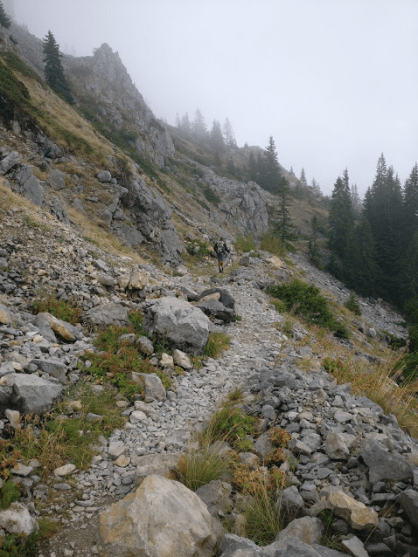
But, the trail disappeared at the top and once again, we could only follow the track on the GPS and it told us to go down a very steep and rocky descent (to a picnic table in the middle of nowhere.
That night, we were planning on getting water and a place to stay in a small town on the way, that supposedly had a bed and breakfast. But, we found it was closed we looked for a place to camp. There was a pig farm nearby so we wanted to make some distance from the smell.
We then met a young hiker who said he was from Estonia and hiking with his dad. So, we saw the tent set up and asked if they minded us joining them. They were cool and we saw them a lot in the next few days. They had just started that day and were out for a week. There packs looked heavy and must have been as they had a lot of water. We setup nearby and talked late into the night. (late for me is 8:30!)
We do get up early and were out of there before they stirred and headed up the mountain from there. It was a tough day and no water (again) so, we kept moving with hopes of getting water at the next mountaineering hut.
Big big descent down to a lake. Our knees were aching as we must’ve dropped 1,000 meters! We get to the brand new hut, and it is locked up! Again! And no water (that was locked up too) We were out of water so while I rested in some shade, Ray went to the lake. Turns out the lake is only about 3” deep (the depth of a hand) and the water was hot (and a bit dirty)
So, we filtered it through a handkerchief and put some purification pills in it and drank the warm water. Then we headed out on a beeline for the next one (there was supposed to be another one coming up soon. We didn’t want to have to hitch to town as we thought we could maybe yogi some food here or buy it, but nothing was open. Nobody around anywhere. 
But, still we kept on going. Then we heard some chain saws and saw 2 guys cutting firewood and having a break. While walking by them, we asked if they knew where we could buy food. Communication was a little difficult but by now, we knew enough words of the language to get our point across.
The younger guy opened up his cooler and it was full of food. He gave us a big hunk of bread, lots of cheese, a few pate cans, and some big tomatoes. We sat there and ate for about 40 minutes and then stuffed a few cans into our backpacks and walked on.
Just around the corner, there were a few houses and a big man sitting at his picnic table. He invited us up and then found out we were hiking the trail, so of course, he had to go inside a get a bottle of schnapps and a plate of meat and a big pot of soup! It was all so good and he had stories and pictures of when he was younger and his climbs up the big mountain before us. Turns out he is a policeman and owns this weekend house and has the most awesome view. He shoots a bear or a deer when he wants to and has a big garden (as does almost everybody in this part of the world. ) 
We never found the next settlement and mountaineering hut. Probably best we didn’t as the comments on the phone app said the trail was non-existent in that area and lots of crawling through scrub pine. We bivouacked in the woods at the base of the mountain after a long day. Here’s Ray’s tent. 
Next day was a good and beautiful climb up this big mountain and we started seeing many yellow ribbons on the trail. Looked like they had marked the trail very well in this section, but it wasn’t always our track. Some bushwhacking again, through some nice fireweed that was head tall
. 


Really nice day , although again, a dry one. So, we had both been out of water for a while when we came to a beautiful cistern with ice cold, clean water. Wow, was that good. I was so thirsty, Ray was giving me the distance to the water from his GPS and I was counting my steps with hope that it would be within the next 100!


Just up the mountain a bit, from the cistern was a big mountaineering hut. As we got there, a few guys got there about the same time from the other direction. Turns out they were the one marking the trail and it was for a race they were going to have in a few weeks. An ultra race. 50 kms I believe. Now Ray and I had both been ultra runners and I had run Leadville, which is a tough one, but this trail was really rocky, steep and tough. They invited us inside and made us some drinks as we cooked our lunch. They told us a bit about the history of the area and the war. Even the mountaineering hut in this spot had been blown up . So, this hut was brand new and very nice.
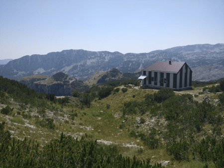
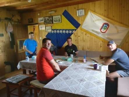
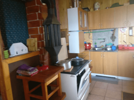
They gave us some advice for the next section, which turned out to be invaluable as we always enjoyed a good swim and also would have missed the most scenic spot on the Via Dinarica White Trail.
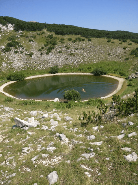
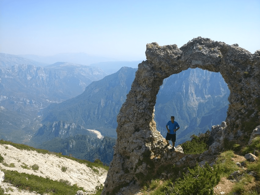
The spot above, is off a small side trail that is easily missed. There is a sign there with a picture of a camera. But there are a quite a few intersections on the trails around here and it is a great spot for a photo.
From here, we meandered through beautiful meadows and came to another hut, this one locked but the water wasn’t so, we filled up again. Then it was downhill. And a big one. I think we descended over 1500 meters from this hut, to the town of Jablanica.
This was about the halfway point on the trail, and we took another day off (only our second in 3 ½ weeks) I had some mail sent here and my new credit card so, we got the best hotel in town and spent our day off shopping for new shoes, socks, gummy bears, and anything we wanted as it was the biggest town on the trail I believe. The hotel that we stayed in was well known for it’s mutton as they roasted the sheep over coals for hours. We thought maybe one or two, but they had 7 full sheep spinning on the spits
.
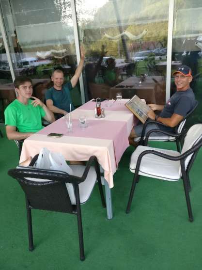
Then as we sat down to eat, our father and son team from Estonia walked in also for dinner.
So we had a great dinner together. Now on the menu, you could either get the lamb that was 2 kgs. Or the small platter that also came with veggies. I took the small as I was getting tired of only meat. Everyone else opted for the big 2kg platter and that’s what it was: ONLY MEAT! Huge! It took them a while to finish theirs and we had lots of talking and stories to tell. Turns out they were going to do some smaller hikes in the area and change their plans away from the Via Dinarica. We were sorry to see the go . There are not many hikers out on this trail. We are not sure why, because it is so beautiful and the people are so friendly everywhere.
Maybe it’s the water, or lack of. Maybe it’s the war memories and unexploded land mines. Maybe it’s the ruggedness of the trail. Maybe (hopefully), it’s just too new and unknown.
Leaving the town of Jablanica, we walked through a farmers market

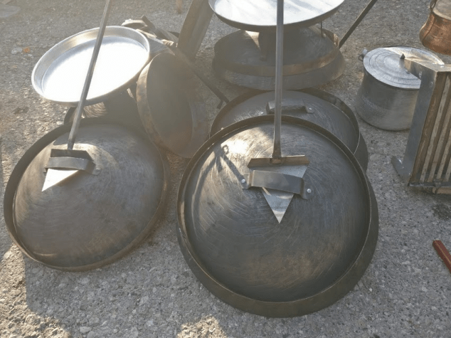

and saw a lot of the famous round ovens for sale that the of this country bake the famous round bread. Next we saw the ruins of a railroad bridge across the big river. Strangers might think this was a ruin from one of the wars, but it turns out, it was left over from a movie about world war II that was filmed in this town, starring Yul Brenner.
Headed through a small town of Ravna, which was really cool because it was so old fashioned and the little mom and pop shop that sold cold drinks used water piped from a spring to cool the drinks. Next would be our steepest ascent of the trail . From the town of Ravna, up to the hut at Vrutak, we would climb 1600 meters in about 2 miles! It was so steep, even I had to find myself 2 walking sticks (something that most hikers these days use, but I’m still “old school” and believe they get in my way)
Very steep, Ray thought I got lost and went back down to look for me, then realized the trail forked and we met again before the top.
At the top, there were 2 buildings and again, mountaineering huts.

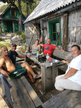
This time, they were not only open, but 2 couples were there cooking and spending the weekend in the cabins. So, of course, they invited us to join them for dinner. So nice.
We thought we were at the top, but no. Still some climbing to do and then the trail got really nasty.
We follow the GPS when in doubt, and believe me, we had some doubt. We read in the comments that there might be some land mines in the area, so, wanted to stay on trail. But, the track took us through low, scrub pines that we had to crawl through. And for a long distance too. At the end of the steep climb we did, I was frustrated and coursing the trailblazer a bit. Sorry, but something needs to be done in there. We were entering the Prenj National Park and this was supposed to be the favorite section of many former hikers, at least from the comments. Anyway, we found a nice meadow to camp in for the night and knew it would get better tomorrow.
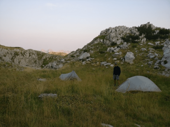
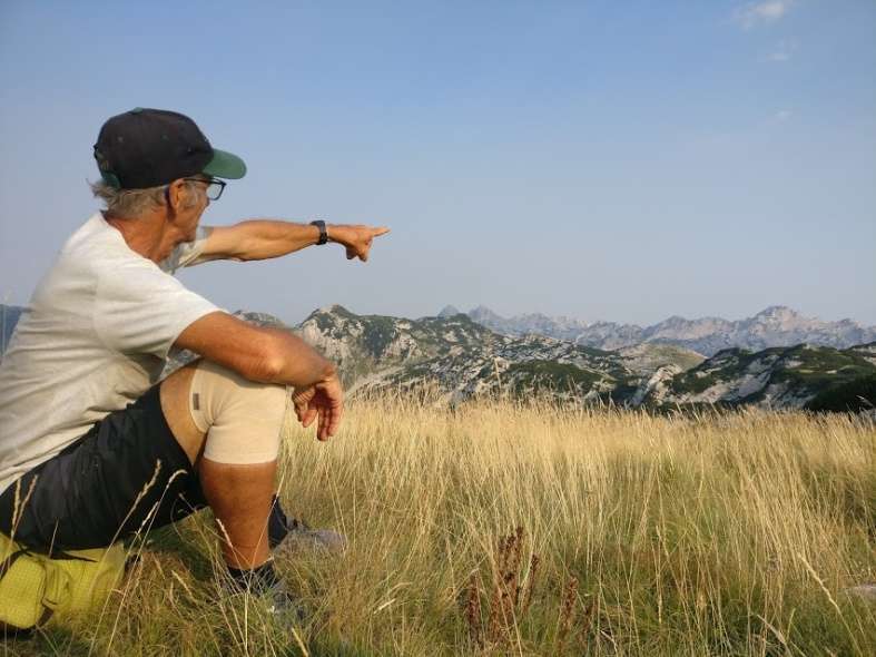
And sure enough………..it did!
We even found some water up there in the Prenj. In a cave! With snow! Yeah! Awesome.
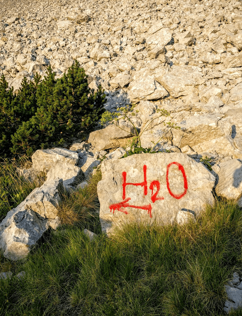
 Continuing on, we came down to a huge grassy meadow with signs of cows being grazed there and comments saying there might be land mines around.
Now, I have a hard time believing that I’m gonna step on, and detonate one that 25 years of cow grazing has missed. But we took precautions and went quite a bit out of our way to follow trail rather than cut across the meadow in the direction we needed to go. There was supposed to be a spring in here somewhere and we found another locked mountaineering hut with no water, so I went out in search of the said spring. Finally found it as we needed water. Just after that, we saw a sign that said: “Land mines behind this sign” Of course the spring was down there.


I must say the Prenj was very beautiful. Very rocky again. And finally we saw some other hikers.
Turns out they were day hikers who were peak-bagging some of the tallest ones in the Prenj, Zelena Glava. We stopped and had lunch at another (locked) cabin on the way down with a group of them.
Turns out they were all from Poland and were with a big group that would all be staying in the next town at the manned hut there. When we got there, there sure were lots of them, and the place was full. But, lots of room to set up tents in the field below.
Leaving there we had a road walk all day until we decided to take a shortcut that someone in the comments had mentioned. Bad choice. Someone had apparently since logged the area It was a mess of tangled and twisted debris left over. Take the trail. (road) Much safer.
So now we were in the town of Jezero, by a big beautiful lake. But it was the weekend and it was packed. Luckily we had called ahead and booked a room in a BnB there and the food was great. 
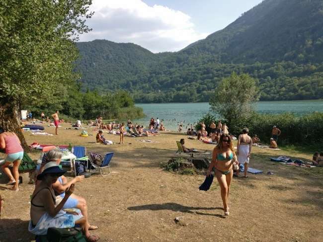
We had a nice swim in the clear lake and then bought food for the next 4 or 5 days in the only store around.
It was really tiny and the mom and pop owners spoke no English and wouldn’t let us see what was on the shelves as they were behind the counter. So, it was a good guess as to what kind of soup and noodles I would be cooking. But at least they had Snickers Bars. I think I bought 12 of them!
Leaving town the next morning took us across a big river. We had to cross it on a swinging suspension bridge that reminded me of Nepal. .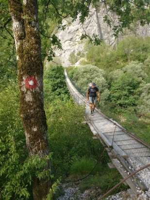
Then we ascended up through some very small towns complete with cemeteries. Looking at the dates on the tombstones, we saw that most people had died in the 90’s. During the war. And many were young children. This is why these little villages often were abandoned I guess. 
Nice hiking in here though, and we were seeing the gorge below us, as well as views ahead of some famous villages and across the way to small towns up high in the grassy bluffs to the west.
We camped that night in a saddle just after a bombed out village near the Blasé lake. 
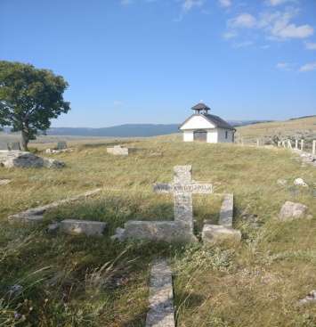
We needed water so figured we could get it out of the lake if nothing else. Wrong! We tried but there was sheep dung all around and reeds and bushes surrounding the lake. I took off my shoes and tried to wade in to get to the good water and sank into the black mud up to my thighs! No water to be had there! So we cruised around the old town and found a few cisterns. Some had water but no bucket. Some had bucket but no water. Finally we figured out we had to carry a bucket from one, to another and got some badly needed water. The campsite was a scenic spot though. It was very windy or we would have slept up near the church. We choose the saddle instead.
Next day was more of the awesome hiking with views everywhere. 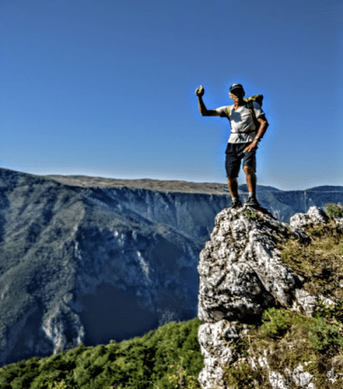
We wanted to visit the famous town of Lukomir. Famous because the town still does things the old fashoined way with raising sheep and gardens and being pretty much self sufficient. We had breakfast in one of the more modern, western style places. And then had a hard sell woman trying desperately to sell us a pair of homeade wool socks she had knitted. 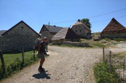
But, you can drive to this town, so, the tourists were showing up around 10 AM so……….
Here is word for word what we recorded from that day.
August 9th: Interesting trail. Tough, all the way to Lukomir, whicih is the highest settled town in Bosnia, and it’s becoming a little touristy. There are still a lot of old people living there off sheep farming and making socks but there are 2 restaurants that are pretty westernized and we walked in and ordered a full breakfast, AND lunch. And we ate for about an hour and a half. Hiker hunger was kicking in for me. Ray had 11 bottles of mixed juices that he filled his water bottles with.
We then left to descend down to the river and on the way, we stopped at probably the best spring on the whole trail. They are rebuilding a water wheel there. Good cold running water from a great spring. Then up the other side to another small village (Bobovic) where we got some water from an old lady at a rustic old farm there.
It was a long day but we headed up the next mountai, hoping to tent somewhere on the way up.
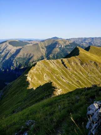
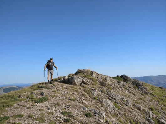
But nothing looked good, so we kept going and finally at the top, we found 2 semi-flat spots and a really awesome view to tent for the night. From this great spot, we could see both sunset and sunrise in the morning and then we found ourselves ridge walking along quite the knife edge. Slightly dangerous hiking here sometimes, but I love this kind of hiking. Exposed, knife edge with great views on either side all morning. It ended with a peak: Vito peak.
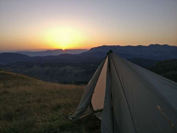
On the descent, we saw some other hikers! Wow, that doesn’t happen often on this trail. It was a guided hike from a guide named Ben and 6 or 7 English hikers. We would see them again a few times in the next week. 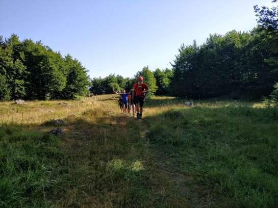
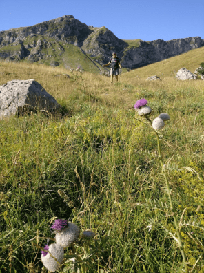
So, we descended to a spring and then to the small town of Tusila. There are only 2 or 3 buildings here and 2 of them are restaurants. So, we chose one and ordered breakfast. They guy was pretty cool and showed us around. He was cooking sheep again on a spit as so many restaurants do here in the Balkans. 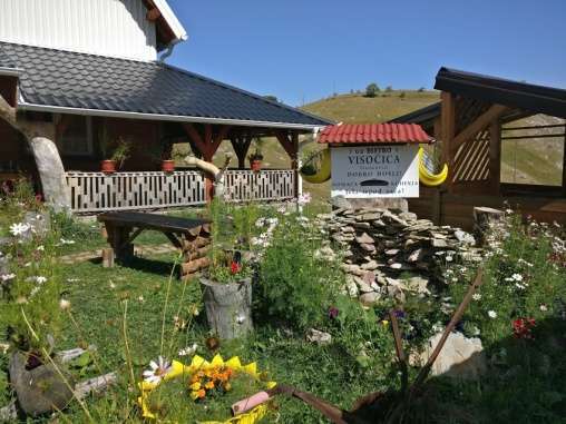

About ten or fifteen kilometers after eating that breakfast, Ray got sick. Luckily we were near the small town of Ljuta and near a roadside water fountain (there are many of these long these along the roadwalks and often dedicated to someone who was killed in the war) 
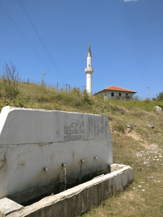
We stopped for a few hours and hoped he would get better, but he only got worse. Food poisoning! So, luckily there was a guesthouse not too far away according to the comments and I hiked up to it. There was the most amazing house, all built by a man and his brother and wife there. Not too much English but he understood that I had a sick friend nearby and we got in his car and went and rescued Ray. So, we got a room, had showers and this guy started showing me around his place.

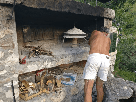
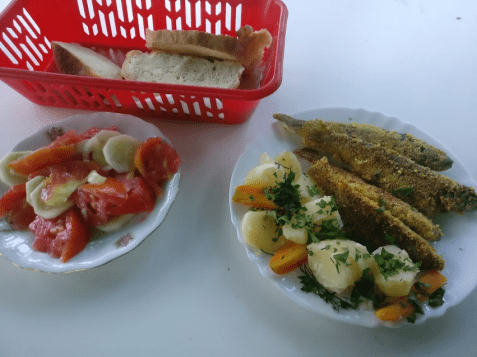
That night his brother went out with his fishing pole and caught dinner. Complete with bread from his homeade oven, and lots of veggies. One of the best meals we had on the trail. He kept feeding Ray tea made from herbs that he went out in the fields to find to help him get over his food poisoning.
We continued on the next day although Ray was still very weak. Luckily it was a roadwalk to begin the next section.
Next town up was Kalinovik, and this town reminded us both of Russia and it’s drab houses, all the same drab, tan color. We really thought we had been transported when we walked into the only hotel in town, applicably named Hotel Moskva (Hotel Moscow in English) And a portrait of Vladmir Putin above the reception counter.


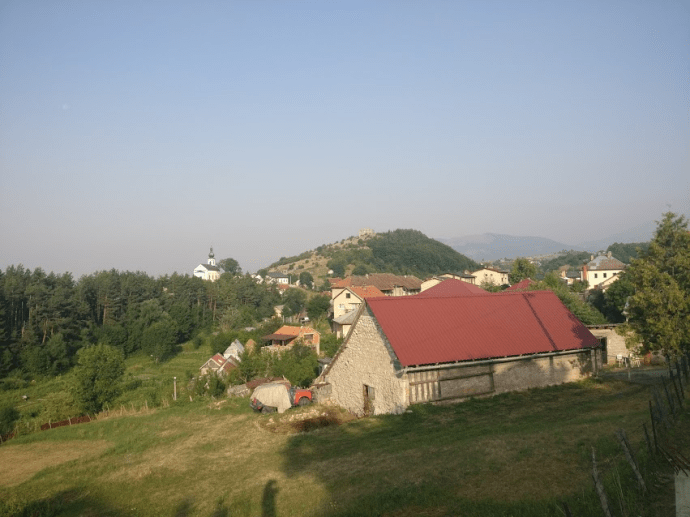
That night we went to every restaurant and bar in town and tried to get a meal with veggies. Everyone said “Nyet” only meat! One woman walked us around and finally took us to a grocery store where we could buy some tomatoes, if we wanted to cook ourselves. We ended up going back to the Hotel Moskva and ordering pizza. It was made with ketchup! Ugh!
The hotel was nice though. But we found out the next day that there is a great place about 10 kms south of there that caters to hikers. We had read about it, but thought town would offer us more food choices (WRONG!) When we found the bed and breakfast a few hours out, the guy gave us a tour and he had built everything. He was quite the creative carpenter and it was really cool.

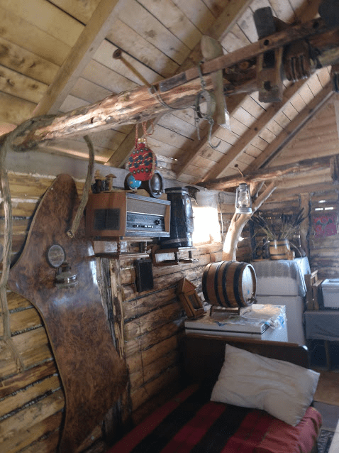

Leavin here, we once again found our selves hiking in some beautiful country with rocky meadows. Half a day later, I had a bad fall when I tripped over a rock and then recuperated a bit at a beautiful lake.


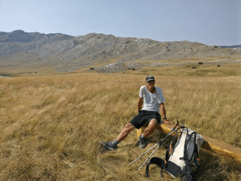
Wonderful hiking in the beautiful mountains, again with only ourselves there to enjoy this great trail.
Some of our first views of Montenegro and Maglic peak.
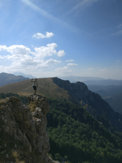
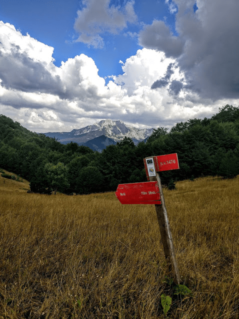
Ray was still not well. The food poisoning was taking long because we never took time off. Just kept pushing it everyday. I guess that’s our style of hiking as we both would rather be hiking than camping, but looking back we probably should have taken a rest day.
We arrived at a small lake: Donje Bare, that had some toilets, so, while Ray was using that luxury, I got to talking to a few men who were having a bit of a reunion at the lake. Turns out they were in the same unit during the war and spent some time here.
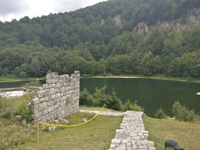
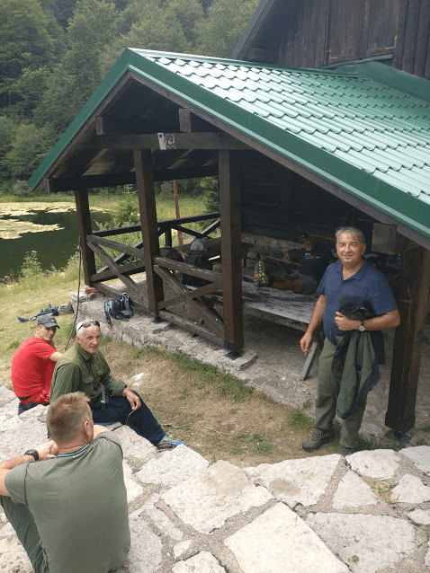
They said more than 1,000 men camped here and they were on the food procurement detail so, went out into the mountains and shot deer to feed the men. One of them went swimming in the cold lake and we were about to have lunch when ………..guess what? Ben and his English hiking group showed up. This was the 3rd time we met them on the trail. And was to be the last as they were all going home after this day. They invited us to join them for their last on-trail meal. Boy, they sure eat good. They had a lot of food and gave us all the leftovers. Unfortunately, Ray wasn’t eating much, but I sure enjoyed fresh veggies galore, cheeses, meats, and even some candy.
Leaving here, we had a long descent through the forest, down to a road that had the trail to the right, about 5 kms and a National Park and hotel to the left about the same. It was late in the day and so, we headed left and roadwalked to the park’s hotel. On the way, there was a new restaurant opening up and giving free food!!!. Now, it’s pretty hard to pass up free food, but it was VERY crowded and we wanted to get cleaned up. Then it started to rain.
We hadn’t seen much rain at all on this hike. Every time it did, 3 or 4 times from my memory, we were near a house, or stable, or within running distance to one. Lucky.
So, the next morning, it was a long roadwalk (10kms?) back to the trail. And since we weren’t able to change money, we’d be leaving Bosnia and switching to Euros only in the next country, Montenegro.
So, luckily there was a couple selling honey and cheese on the side of the road and they were nice enough to change our Bosnian Marks or marka with them.
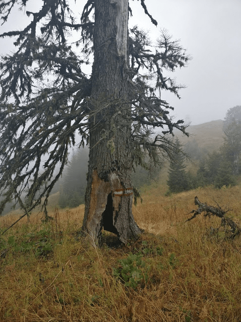
Beautiful forest walking on the ascent
.


And then a fire tower, a road and people! Yes, people hiking. A rarity on this trail. We actually saw a group of about 30 people, with a packhorse for supplies and then their cute guide who we found out was a weather-woman and told us it was about to get cold. The rain last night and the cloudy morning would bring a change in the weather for the rest of the hike. Up to this point, it had mostly been hot, and we sometimes wondered why we brought down jackets, rain pants, and gloves and hats. Now we would need them.
As we were in National Park here and coming up on the highest point in Bosnia: Mount Maglic, which straddles the border with Montenegro. Stay tuned for the 3rd and final blog entry on this hike: Montenegro and Albania
 Stay tuned!